Seaport · Indonesia

TernateIDTTE

0.7833°, 127.3833°
7.9 m
Channel depth
9.3
Port liner connectivity

Channel & Berth Profile

SEA LEVEL (CD)CHANNEL BEDCargo pier · 6.4 mChannel · 7.9 mOil terminal · 18.6 mAnchorage · 23.2 m
NGA World Port Index

Pilotage, Tugs & Services

Pilotage compulsoryYES
Pilotage availableYES
Tug assistanceYES
Salvage tugsYES
Potable waterYES
MedicalYES
Garbage disposalYES
NGA World Port Index

Facilities & Capabilities

Container
Ro-Ro
Liquid bulk
Dry bulk
Oil terminal
Break bulk
Dry dock
RepairsNO
BunkeringYES
Rail link
Dangerous cargo
ISPS security
NGA World Port Index

Harbour Specifications

Harbour size
Very Small
NGA World Port Index
Harbour type
Open Roadstead
NGA World Port Index
Shelter
Fair
NGA World Port Index
Water body
Molucca Sea; North Pacific Ocean
NGA World Port Index
Tidal range
1 m
NGA World Port Index
Pilotage
Yes
NGA World Port Index

Liner Connectivity

9.3
PLSCI

Port Liner Shipping Connectivity Index for Ternate, as published by UNCTAD for the latest available quarter. Higher values indicate stronger scheduled liner-shipping integration.

Shown relative to the highest per-port PLSCI in the dataset (1,657.9).
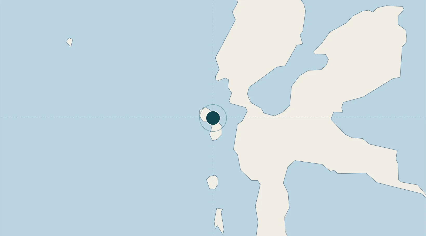
UNCTAD · Port Liner Shipping Connectivity Index

Location

Location of IDTTE
Natural Earth 10m (public domain) · Maluku Utara · IDTTE · 0.78, 127.38GoogleOSMYandex

Nearby Logistics Neighbours

Ports
  1. 1Labuha158 km
  2. 2Bitung255 km
  3. 3Manado295 km
  4. 4Namlea453 km
  5. 5Wahai461 km
Nearest neighbours — logibook spatial index (haversine) over the source coordinates
Cities
  1. 1Sidangoli17 km
  2. 2Akeselaka71 km
  3. 3Kau73 km
  4. 4Weda75 km
  5. 5Mornopo93 km
Nearest neighbours — logibook spatial index (haversine) over the source coordinates
Airports
  1. 1Sultan Babullah Airport5 km
  2. 2Pitu Airport175 km
  3. 3Sam Ratulangi International Airport286 km
  4. 4Bolaang Mongondow Airport373 km
  5. 5Naha Airport383 km
Nearest neighbours — logibook spatial index (haversine) over the source coordinates
Trade Zones
  1. 1KEK Morotai178 km
  2. 2Bitung Special Economic Zone264 km
  3. 3KEK Likupang267 km
  4. 4KEK Sorong474 km
  5. 5Kamanga Agro-Industrial Economic Zone620 km
Nearest neighbours — logibook spatial index (haversine) over the source coordinates
DatabookThe Record of Consolidated Knowledge
Indonesia beyond logistics?
Browse databook

All Sources

Portsthe NGA World Port Index
Public domain (US gov)
Logistics performanceUNCTAD
CC BY 3.0 IGO
AirportsOurAirports
Public domain
LocationsUN/LOCODE
UN/LOCODE — free
Trade Zonesthe World Bank SEZ database
CC BY 4.0
Trade ZonesOpen Zone Map
CC BY
← Indonesia ports