Seaport · Indonesia

GorontaloIDGTO

0.5000°, 123.0500°
9.4 m
Channel depth
18.5
Port liner connectivity
Gorontalo is also a UN/LOCODE logistics hub →

Channel & Berth Profile

SEA LEVEL (CD)CHANNEL BEDOil terminal · 7.9 mChannel · 9.4 mCargo pier · 9.4 mAnchorage · 23.2 m
NGA World Port Index

Pilotage, Tugs & Services

Pilotage compulsoryYES
Pilotage availableYES
Tug assistanceYES
Potable waterYES
MedicalNO
NGA World Port Index

Facilities & Capabilities

Container
Ro-Ro
Liquid bulk
Dry bulk
Oil terminal
Break bulk
Dry dock
RepairsNO
Bunkering
Rail link
Dangerous cargo
ISPS security
NGA World Port Index

Harbour Specifications

Harbour size
Very Small
NGA World Port Index
Harbour type
Open Roadstead
NGA World Port Index
Shelter
Poor
NGA World Port Index
Water body
Teluk Tomini; Molucca Sea; South Pacific Ocean
NGA World Port Index
Tidal range
2 m
NGA World Port Index
Pilotage
Yes
NGA World Port Index

Liner Connectivity

18.5
PLSCI

Port Liner Shipping Connectivity Index for Gorontalo, as published by UNCTAD for the latest available quarter. Higher values indicate stronger scheduled liner-shipping integration.

Shown relative to the highest per-port PLSCI in the dataset (1,657.9).
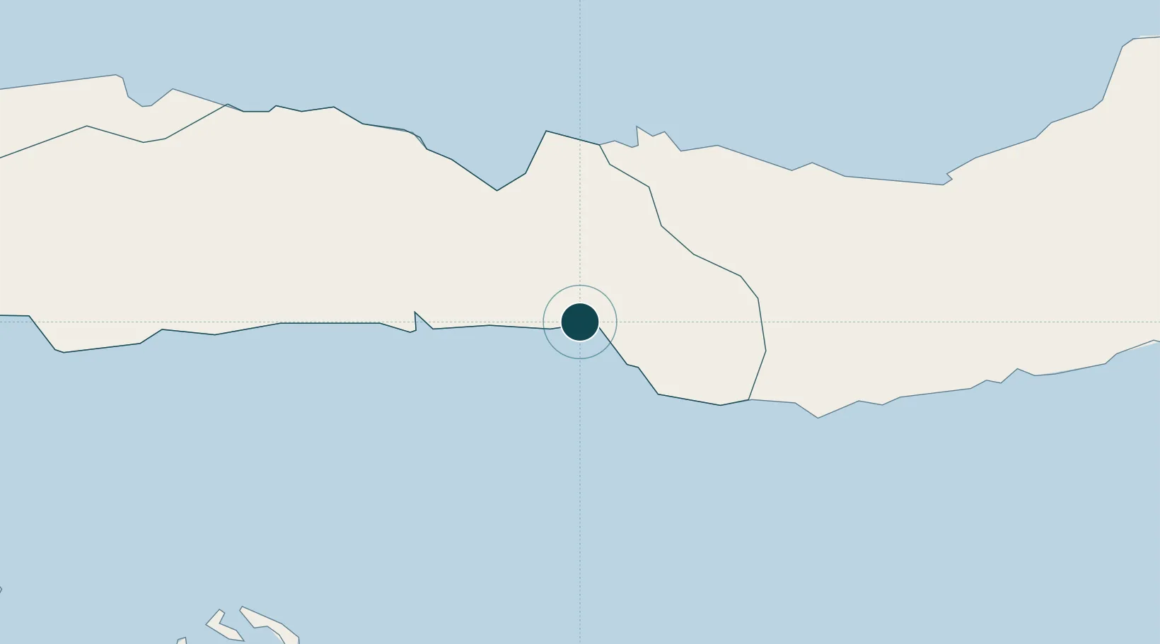
UNCTAD · Port Liner Shipping Connectivity Index

Location

Location of IDGTO
Natural Earth 10m (public domain) · Gorontalo · IDGTO · 0.50, 123.05GoogleOSMYandex

Nearby Logistics Neighbours

Ports
  1. 1Luwuk164 km
  2. 2Manado227 km
  3. 3Bitung259 km
  4. 4Poso329 km
  5. 5Kolonodale336 km
Nearest neighbours — logibook spatial index (haversine) over the source coordinates
Cities
  1. 1Anggrek49 km
  2. 2Pagimana152 km
  3. 3Luwuk164 km
  4. 4Ampana223 km
  5. 5Manado235 km
Nearest neighbours — logibook spatial index (haversine) over the source coordinates
Airports
  1. 1Jalaluddin Airport27 km
  2. 2Bolaang Mongondow Airport118 km
  3. 3Syukuran Aminuddin Amir Airport174 km
  4. 4Buol - Pogogul Airport194 km
  5. 5Tanjung Api Airport219 km
Nearest neighbours — logibook spatial index (haversine) over the source coordinates
Trade Zones
  1. 1Bitung Special Economic Zone247 km
  2. 2KEK Likupang268 km
  3. 3Palu Special Economic Zone378 km
  4. 4Morowali Industrial Park383 km
  5. 5Maloy Batuta Trans Kalimantan Special Economic Zone570 km
Nearest neighbours — logibook spatial index (haversine) over the source coordinates
DatabookThe Record of Consolidated Knowledge
Indonesia beyond logistics?
Browse databook

All Sources

Portsthe NGA World Port Index
Public domain (US gov)
Logistics performanceUNCTAD
CC BY 3.0 IGO
AirportsOurAirports
Public domain
LocationsUN/LOCODE
UN/LOCODE — free
Trade Zonesthe World Bank SEZ database
CC BY 4.0
Trade ZonesOpen Zone Map
CC BY
← Indonesia ports