Free Trade Zone · Philippines

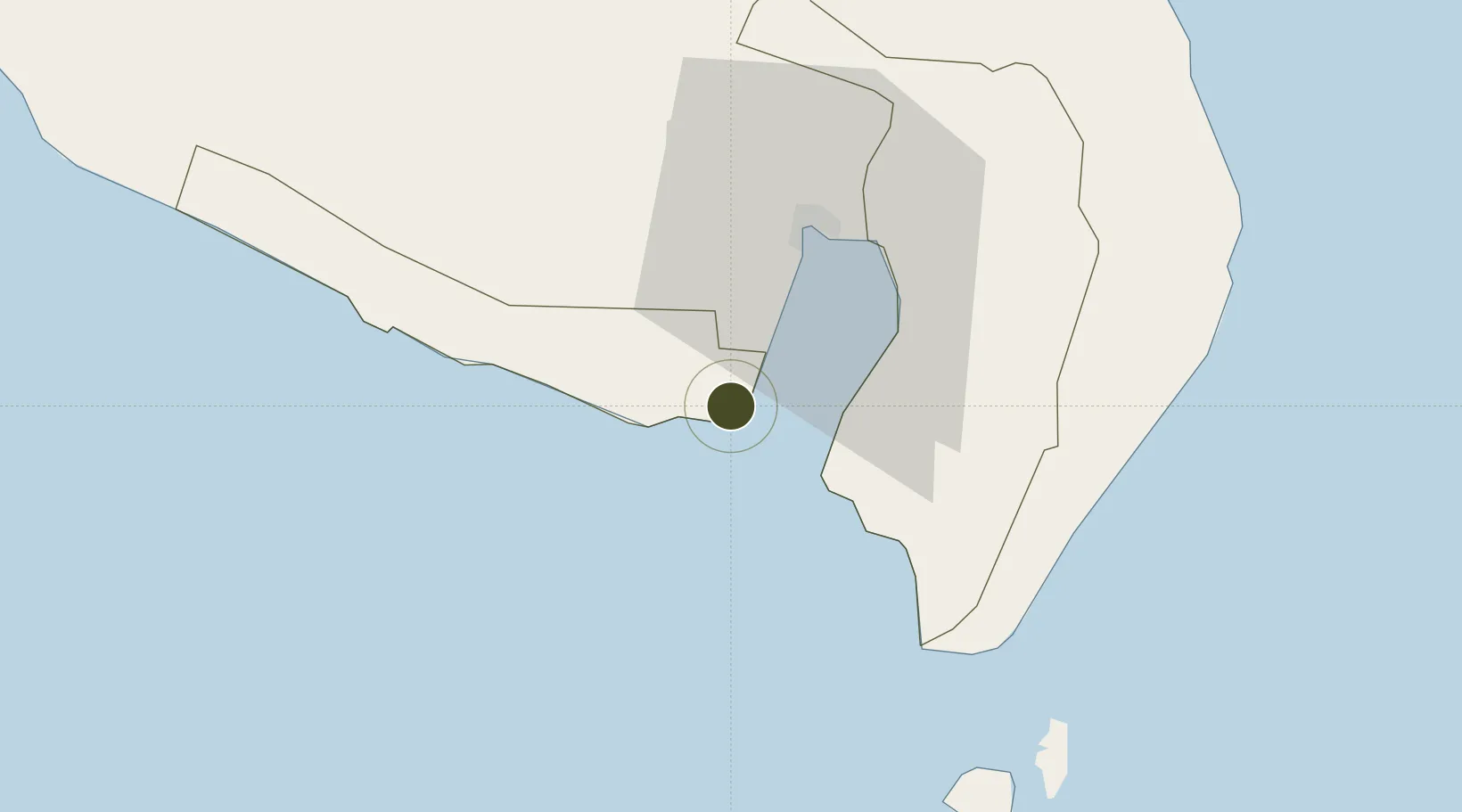
Sarangani Marine Industrial Park Under Development

5.8853°, 125.0679°
18 ha
Zone area
28.7 km
Nearest port
19.4 km
Nearest airport

Gateway access

Nearest neighbours — logibook spatial index (haversine) over the source coordinates

Zone profile

Zone type
Free Trade Zone
Open Zone Map
Region
Sarangani
Open Zone Map
Status
Under Development
Open Zone Map
Management
Private
Open Zone Map
Operator
RD Corporation
Open Zone Map
Legal framework
Special Economic Zone Act (Republic Act No. 7916) (as amended by Republic Act No. 8748)
Open Zone Map

Location

Location of ozm-3314
Natural Earth 10m (public domain) · Sarangani · ozm-3314 · 5.89, 125.07GoogleOSMYandex

Nearby Logistics Neighbours

Ports
  1. 1General Santos29 km
  2. 2Davao145 km
  3. 3Mati174 km
  4. 4Polloc (Cotabato)188 km
  5. 5Iligan277 km
Nearest neighbours — logibook spatial index (haversine) over the source coordinates
Airports
  1. 1General Santos International Airport19 km
  2. 2Rajah Buayan Air Base31 km
  3. 3Allah Valley Airport64 km
  4. 4Central Mindanao Airport115 km
  5. 5Francisco Bangoy International Airport152 km
Nearest neighbours — logibook spatial index (haversine) over the source coordinates
Cities
  1. 1General Santos25 km
  2. 2Astorga119 km
  3. 3Kalamansig135 km
  4. 4Davao, Mindanao156 km
  5. 5DICT / SVT170 km
Nearest neighbours — logibook spatial index (haversine) over the source coordinates
Trade Zones
  1. 1Kamanga Agro-Industrial Economic Zone3 km
  2. 2Agrotex Gensan Economic Zone18 km
  3. 3Gensan Economic Zone21 km
  4. 4Gensan Economic Zone21 km
  5. 5Millennium Industrial Economic Zone23 km
Nearest neighbours — logibook spatial index (haversine) over the source coordinates
DatabookThe Record of Consolidated Knowledge
Philippines beyond logistics?
Browse databook

All Sources

Trade ZonesOpen Zone Map
CC BY
Portsthe NGA World Port Index
Public domain (US gov)
AirportsOurAirports
Public domain
LocationsUN/LOCODE
UN/LOCODE — free
← Philippines trade zones