Seaport · Indonesia

LabuhaIDLAH

-0.6333°, 127.4667°
Labuha is also a UN/LOCODE logistics hub →

Channel & Berth Profile

SEA LEVEL (CD)CHANNEL BEDCargo pier · 1.8 mAnchorage · 14.0 m
NGA World Port Index

Pilotage, Tugs & Services

Potable waterYES
NGA World Port Index

Facilities & Capabilities

Container
Ro-Ro
Liquid bulk
Dry bulk
Oil terminal
Break bulk
Dry dock
Repairs
Bunkering
Rail link
Dangerous cargo
ISPS security
NGA World Port Index

Harbour Specifications
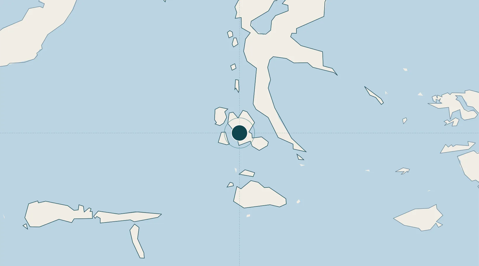
Harbour size
Very Small
NGA World Port Index
Harbour type
Open Roadstead
NGA World Port Index
Shelter
Fair
NGA World Port Index
Water body
Molucca Sea; South Pacific Ocean
NGA World Port Index

Location

Location of IDLAH
Natural Earth 10m (public domain) · Maluku Utara · IDLAH · -0.63, 127.47GoogleOSMYandex

Nearby Logistics Neighbours

Ports
  1. 1Ternate158 km
  2. 2Namlea298 km
  3. 3Wahai329 km
  4. 4Bitung342 km
  5. 5Ambon348 km
Nearest neighbours — logibook spatial index (haversine) over the source coordinates
Cities
  1. 1Weda117 km
  2. 2Sidangoli171 km
  3. 3Mornopo178 km
  4. 4Tanjung Buli185 km
  5. 5Gee Island189 km
Nearest neighbours — logibook spatial index (haversine) over the source coordinates
Airports
  1. 1Sultan Babullah Airport163 km
  2. 2Namniwel Airport284 km
  3. 3Pitu Airport313 km
  4. 4Pattimura International Airport349 km
  5. 5Marinda Airport368 km
Nearest neighbours — logibook spatial index (haversine) over the source coordinates
Trade Zones
  1. 1KEK Morotai318 km
  2. 2Bitung Special Economic Zone347 km
  3. 3KEK Likupang364 km
  4. 4KEK Sorong422 km
  5. 5Morowali Industrial Park638 km
Nearest neighbours — logibook spatial index (haversine) over the source coordinates
DatabookThe Record of Consolidated Knowledge
Indonesia beyond logistics?
Browse databook

All Sources

Portsthe NGA World Port Index
Public domain (US gov)
AirportsOurAirports
Public domain
LocationsUN/LOCODE
UN/LOCODE — free
Trade Zonesthe World Bank SEZ database
CC BY 4.0
Trade ZonesOpen Zone Map
CC BY
← Indonesia ports