Seaport · Indonesia
BitungIDBIT
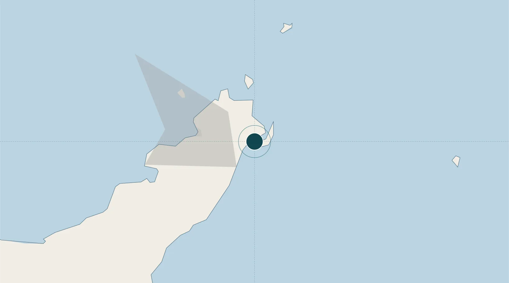
1.4333°, 125.1833°
7.9 m
Channel depth
1
Container terminals
43.2
Port liner connectivity
Channel & Berth Profile
Pilotage, Tugs & Services
Pilotage compulsoryYES
Pilotage availableYES
Tug assistanceYES
Potable waterYES
Diesel bunkersYES
MedicalYES
Facilities & Capabilities
Container—
Ro-Ro—
Liquid bulk—
Dry bulk—
Oil terminal—
Break bulk—
Dry dock—
RepairsNO
Bunkering—
Rail link—
Dangerous cargo—
ISPS security—
Harbour Specifications
Harbour size
Very Small
Harbour type
Coastal (Natural)
Shelter
Excellent
Water body
Molucca Sea; North Pacific Ocean
Tidal range
4 m
Pilotage
Yes
Liner Connectivity
43.2
PLSCI
Port Liner Shipping Connectivity Index for Bitung, as published by UNCTAD for the latest available quarter. Higher values indicate stronger scheduled liner-shipping integration.
Shown relative to the highest per-port PLSCI in the dataset (1,657.9).
Location
Container Terminals · 1
TERMINAL PETIKEMAS BITUNG
TPBT PT PELINDO TERMINAL PETIKEMAS (SPTP)
Nearby Logistics Neighbours
Cities
- 1Manado28 km
- 2Gorontalo, Sulawesi256 km
- 3Sidangoli263 km
- 4Anggrek275 km
- 5Kau303 km
Airports
- 1Sam Ratulangi International Airport31 km
- 2Bolaang Mongondow Airport141 km
- 3Naha Airport253 km
- 4Sultan Babullah Airport253 km
- 5Jalaluddin Airport274 km
Trade Zones
- 1Bitung Special Economic Zone12 km
- 2KEK Likupang28 km
- 3KEK Morotai353 km
- 4Kamanga Agro-Industrial Economic Zone493 km
- 5Sarangani Marine Industrial Park495 km
DatabookThe Record of Consolidated Knowledge
Indonesia beyond logistics?