Small airport · Indonesia

Jalaluddin AirportWAMG
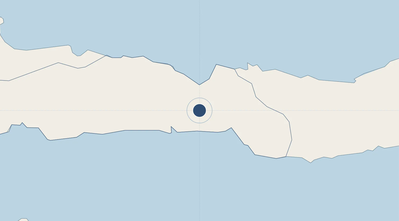
0.6371°, 122.8500°
8,202 ft
Longest runway
1
Runways
105 ft
Elevation

Runway & Layout

Jalaluddin Airport runway & taxiway layout
Runway & taxiway layout — OpenStreetMap (ODbL) / OurAirports

Radio Frequencies

TWR
122.2 MHz
INFO
905.5 MHz
GORONTALO RDO
OurAirports

Navaids

GTL VOR-DME Gorontalo 113.50 MHz
NN NDB Gorontalo 285 kHz
OurAirports

Runways · 1

RunwayDimensions SurfaceTrue headingLit
09/27 8,202 × 148ft Asphalt 097°
OurAirports

Airport Specifications

IATA code
GTO
OurAirports
ICAO code
WAMG
OurAirports
Airport class
Small airport
OurAirports
Scheduled service
Yes
OurAirports
Runway surface
Asphalt
OurAirports
Served city
Gorontalo-Celebes Island
OurAirports

Location

Location of WAMG
Natural Earth 10m (public domain) · Gorontalo · WAMG · 0.64, 122.85GoogleOSMYandex

Nearby Logistics Neighbours

Airports
  1. 1Bolaang Mongondow Airport135 km
  2. 2Buol - Pogogul Airport168 km
  3. 3Syukuran Aminuddin Amir Airport186 km
  4. 4Tanjung Api Airport215 km
  5. 5Sultan Bantilan Airport235 km
Nearest neighbours — logibook spatial index (haversine) over the source coordinates
Cities
  1. 1Anggrek25 km
  2. 2Gorontalo, Sulawesi29 km
  3. 3Pagimana162 km
  4. 4Luwuk176 km
  5. 5Ampana219 km
Nearest neighbours — logibook spatial index (haversine) over the source coordinates
Ports
  1. 1Gorontalo27 km
  2. 2Luwuk177 km
  3. 3Manado241 km
  4. 4Bitung274 km
  5. 5Poso323 km
Nearest neighbours — logibook spatial index (haversine) over the source coordinates
Trade Zones
  1. 1Bitung Special Economic Zone263 km
  2. 2KEK Likupang281 km
  3. 3Palu Special Economic Zone364 km
  4. 4Morowali Industrial Park392 km
  5. 5Maloy Batuta Trans Kalimantan Special Economic Zone547 km
Nearest neighbours — logibook spatial index (haversine) over the source coordinates
DatabookThe Record of Consolidated Knowledge
Indonesia beyond logistics?
Browse databook

All Sources

AirportsOurAirports
Public domain
Portsthe NGA World Port Index
Public domain (US gov)
LocationsUN/LOCODE
UN/LOCODE — free
Trade Zonesthe World Bank SEZ database
CC BY 4.0
Trade ZonesOpen Zone Map
CC BY
InfrastructureOpenStreetMap
ODbL 1.0
← Indonesia airports