Specialized Zone · Indonesia
KEK Likupang Under Development
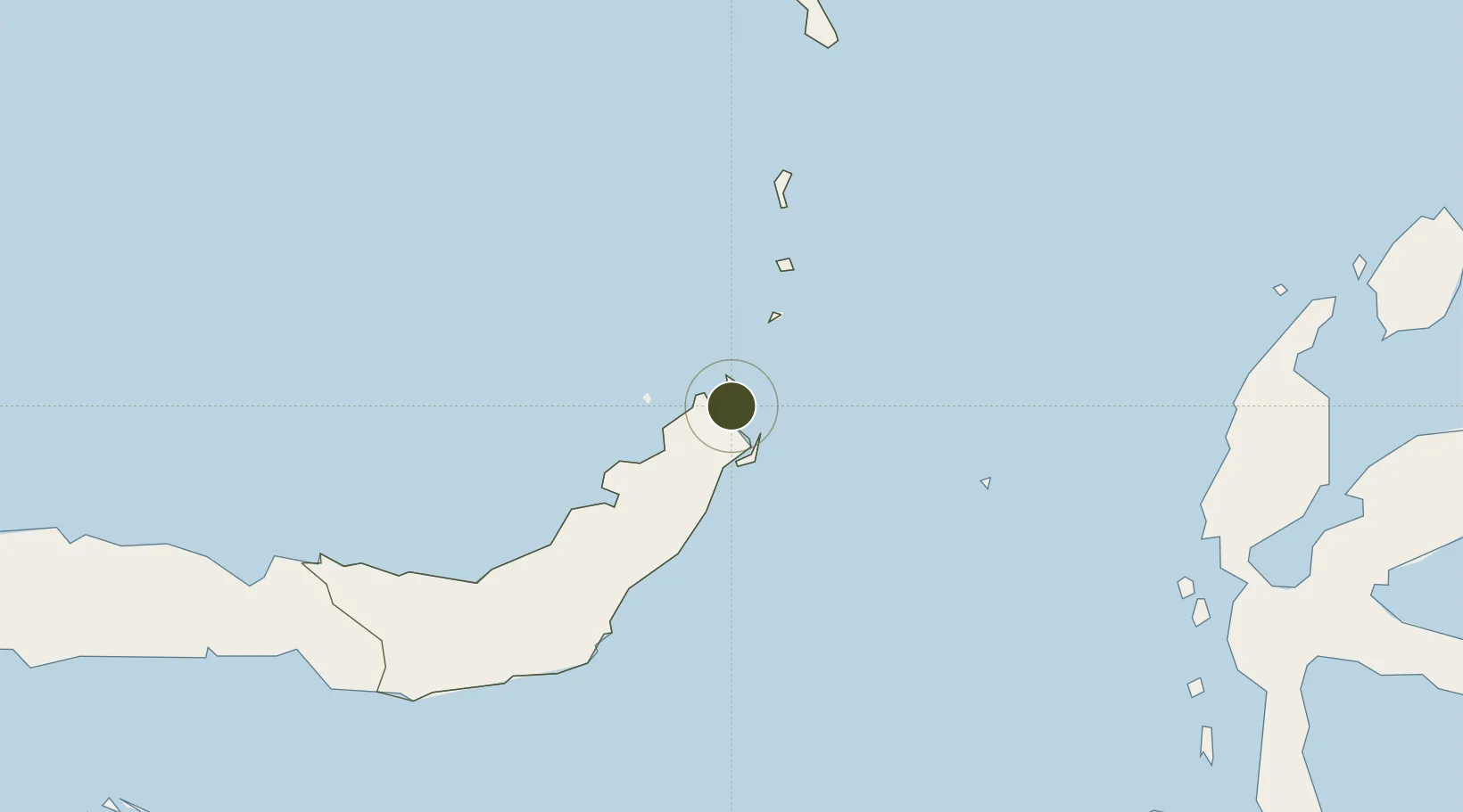
1.6802°, 125.1553°
197 ha
Zone area
27.6 km
Nearest port
29.4 km
Nearest airport
Gateway access
Zone profile
Zone type
Specialized Zone
Specialization
Tourism
Region
Sulawesi Utara
Status
Under Development
Management
Public-Private Partnership
Operator
PT Minahasa Permal Resort Development (MPRD)
Legal framework
Law of the Republic of Indonesia No. 39 Year 2009 Regarding Special Economic Zones
Location
Nearby Logistics Neighbours
Airports
- 1Sam Ratulangi International Airport29 km
- 2Bolaang Mongondow Airport153 km
- 3Naha Airport227 km
- 4Sultan Babullah Airport265 km
- 5Jalaluddin Airport281 km
Cities
- 1Bitung, Sulawesi27 km
- 2Manado35 km
- 3Gorontalo, Sulawesi261 km
- 4Sidangoli273 km
- 5Anggrek279 km
Trade Zones
- 1Bitung Special Economic Zone34 km
- 2KEK Morotai352 km
- 3Kamanga Agro-Industrial Economic Zone465 km
- 4Sarangani Marine Industrial Park468 km
- 5Agrotex Gensan Economic Zone483 km
DatabookThe Record of Consolidated Knowledge
Indonesia beyond logistics?