Transport Functions
Port
Airport
Hub Profile
Logistics facilities
2
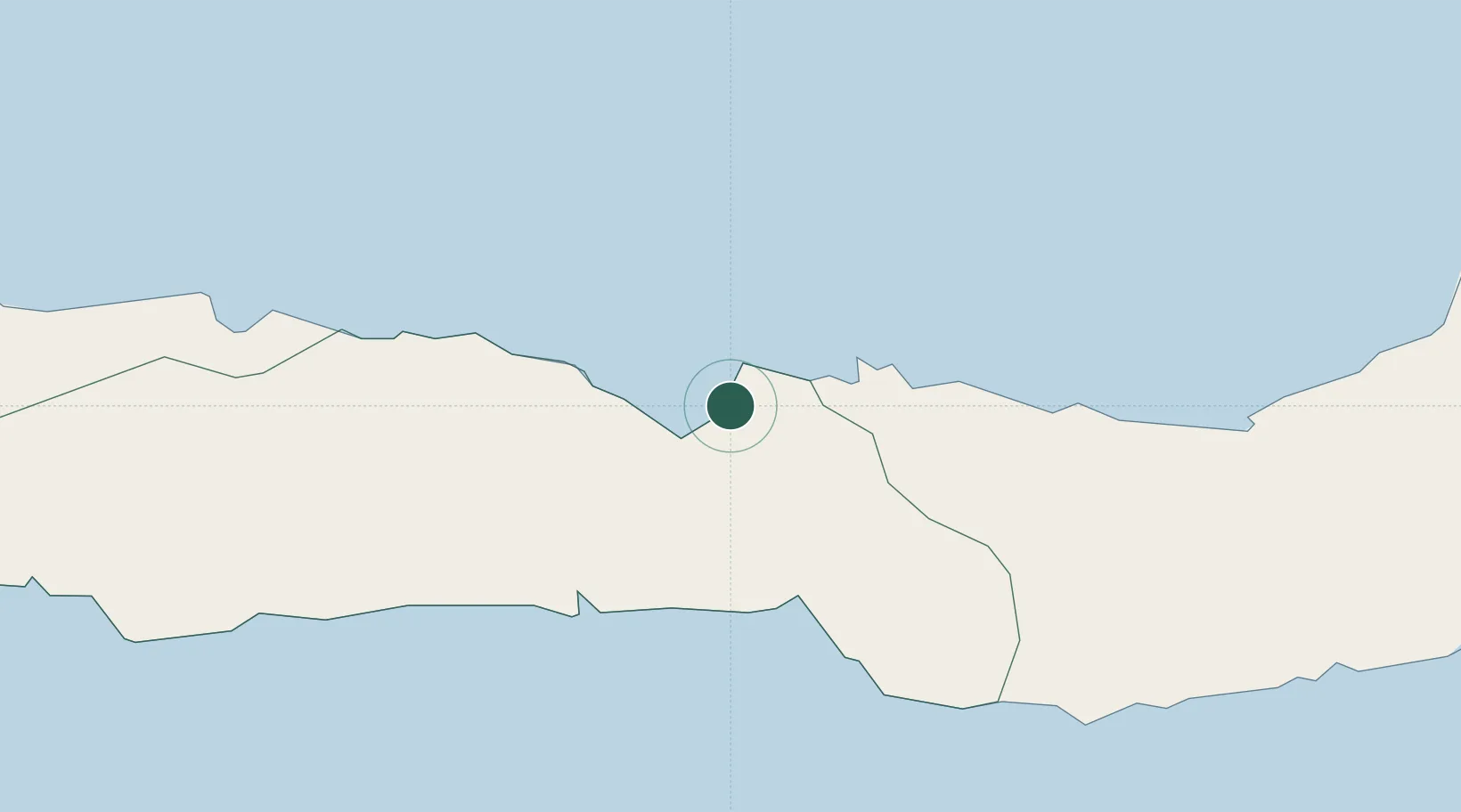
Location
Nearby Logistics Neighbours
Ports
- 1Luwuk204 km
- 2Manado221 km
- 3Bitung256 km
- 4Poso349 km
- 5Kolonodale365 km
Airports
- 1Jalaluddin Airport29 km
- 2Bolaang Mongondow Airport121 km
- 3Buol - Pogogul Airport172 km
- 4Syukuran Aminuddin Amir Airport214 km
- 5Sam Ratulangi International Airport233 km
Trade Zones
DatabookThe Record of Consolidated Knowledge
Indonesia beyond logistics?