Transport Functions
Port
Road
Hub Profile
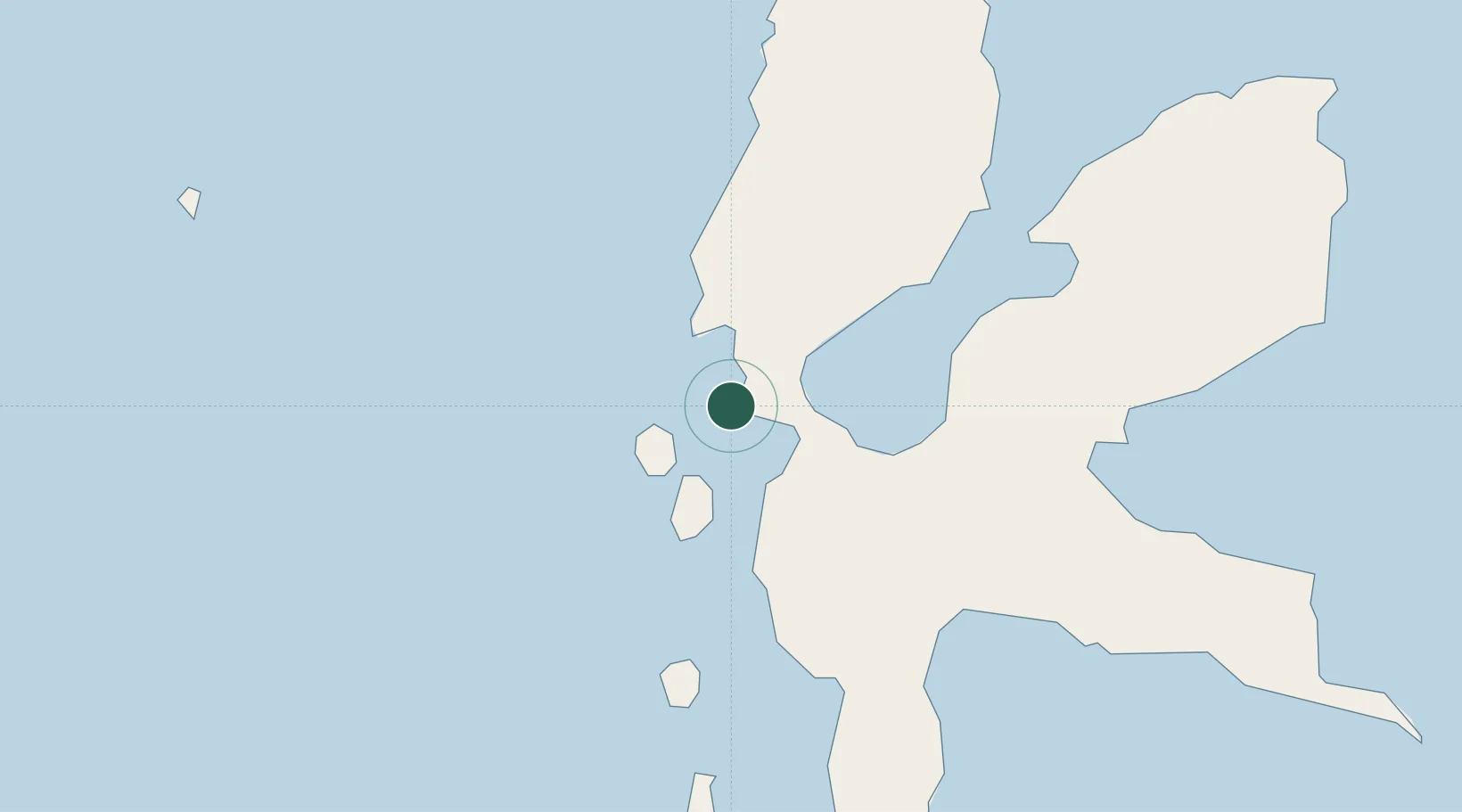
Place type
Populated place
Region
North Maluku
Time zone
Asia/Jayapura
Elevation
7 m
Location
Nearby Logistics Neighbours
Airports
- 1Sultan Babullah Airport14 km
- 2Pitu Airport158 km
- 3Sam Ratulangi International Airport293 km
- 4Naha Airport378 km
- 5Bolaang Mongondow Airport384 km
Trade Zones
- 1KEK Morotai161 km
- 2Bitung Special Economic Zone272 km
- 3KEK Likupang273 km
- 4KEK Sorong470 km
- 5Kamanga Agro-Industrial Economic Zone613 km
DatabookThe Record of Consolidated Knowledge
Indonesia beyond logistics?