Small airport · Indonesia

Bolaang Mongondow AirportWAMI
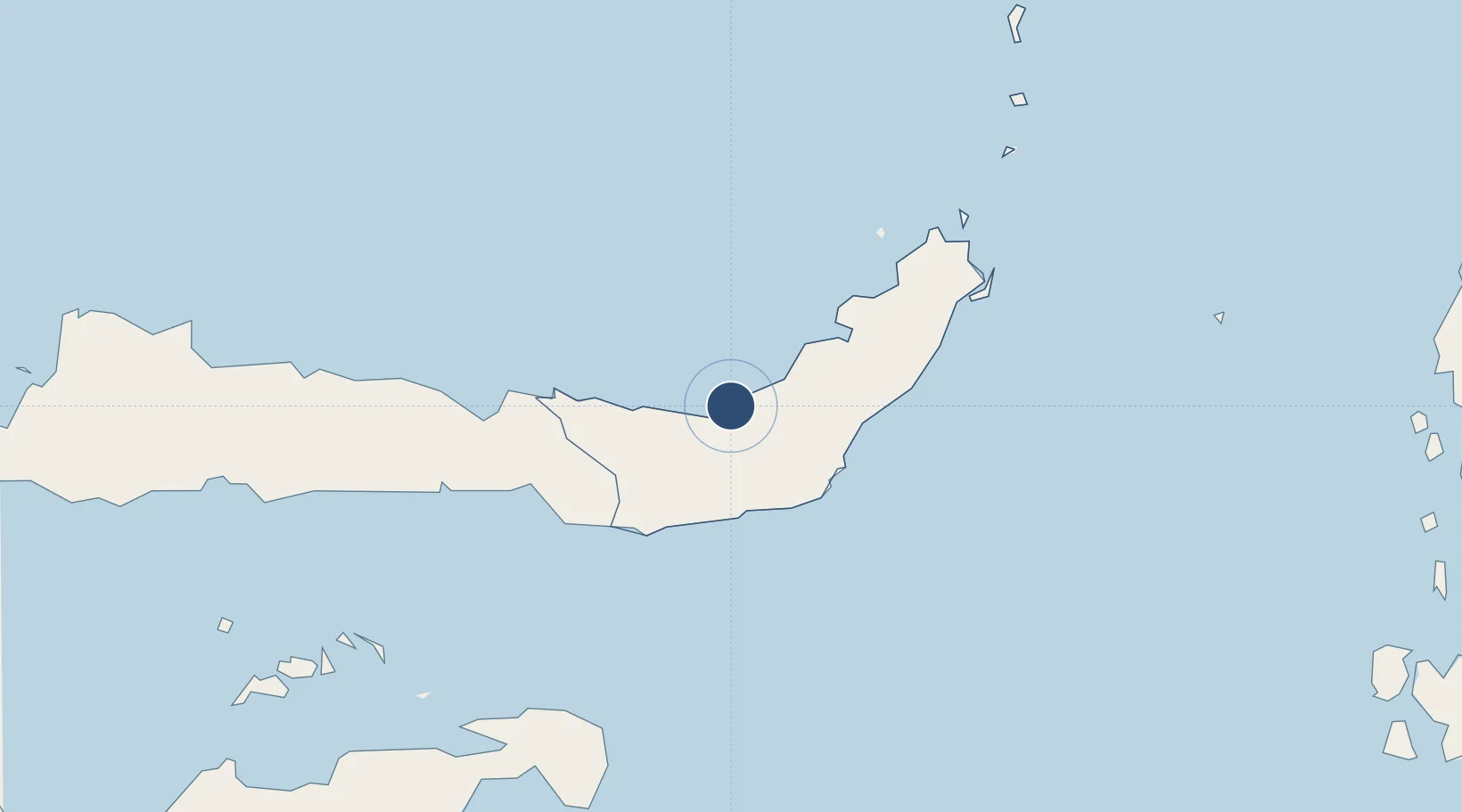
0.8885°, 124.0336°
5,249 ft
Longest runway
1
Runways
28 ft
Elevation

Runway & Layout

Bolaang Mongondow Airport runway & taxiway layout
Runway & taxiway layout — OpenStreetMap (ODbL) / OurAirports

Runways · 1

RunwayDimensions SurfaceTrue headingLit
11/29 5,249 × —ft Asphalt
OurAirports

Airport Specifications

IATA code
LKM
OurAirports
ICAO code
WAMI
OurAirports
Airport class
Small airport
OurAirports
Scheduled service
Yes
OurAirports
Runway surface
Asphalt
OurAirports
Served city
Lolak
OurAirports

Location

Location of WAMI
Natural Earth 10m (public domain) · Sulawesi Utara · WAMI · 0.89, 124.03GoogleOSMYandex

Nearby Logistics Neighbours

Airports
  1. 1Sam Ratulangi International Airport123 km
  2. 2Jalaluddin Airport135 km
  3. 3Syukuran Aminuddin Amir Airport256 km
  4. 4Buol - Pogogul Airport292 km
  5. 5Tanjung Api Airport331 km
Nearest neighbours — logibook spatial index (haversine) over the source coordinates
Cities
  1. 1Manado118 km
  2. 2Gorontalo, Sulawesi121 km
  3. 3Anggrek139 km
  4. 4Bitung, Sulawesi143 km
  5. 5Pagimana245 km
Nearest neighbours — logibook spatial index (haversine) over the source coordinates
Ports
  1. 1Manado112 km
  2. 2Gorontalo118 km
  3. 3Bitung141 km
  4. 4Luwuk246 km
  5. 5Ternate373 km
Nearest neighbours — logibook spatial index (haversine) over the source coordinates
Trade Zones
  1. 1Bitung Special Economic Zone130 km
  2. 2KEK Likupang153 km
  3. 3Morowali Industrial Park462 km
  4. 4KEK Morotai492 km
  5. 5Palu Special Economic Zone496 km
Nearest neighbours — logibook spatial index (haversine) over the source coordinates
DatabookThe Record of Consolidated Knowledge
Indonesia beyond logistics?
Browse databook

All Sources

AirportsOurAirports
Public domain
Portsthe NGA World Port Index
Public domain (US gov)
LocationsUN/LOCODE
UN/LOCODE — free
Trade Zonesthe World Bank SEZ database
CC BY 4.0
Trade ZonesOpen Zone Map
CC BY
InfrastructureOpenStreetMap
ODbL 1.0
← Indonesia airports