UN/LOCODE hub · Indonesia
IDBIT
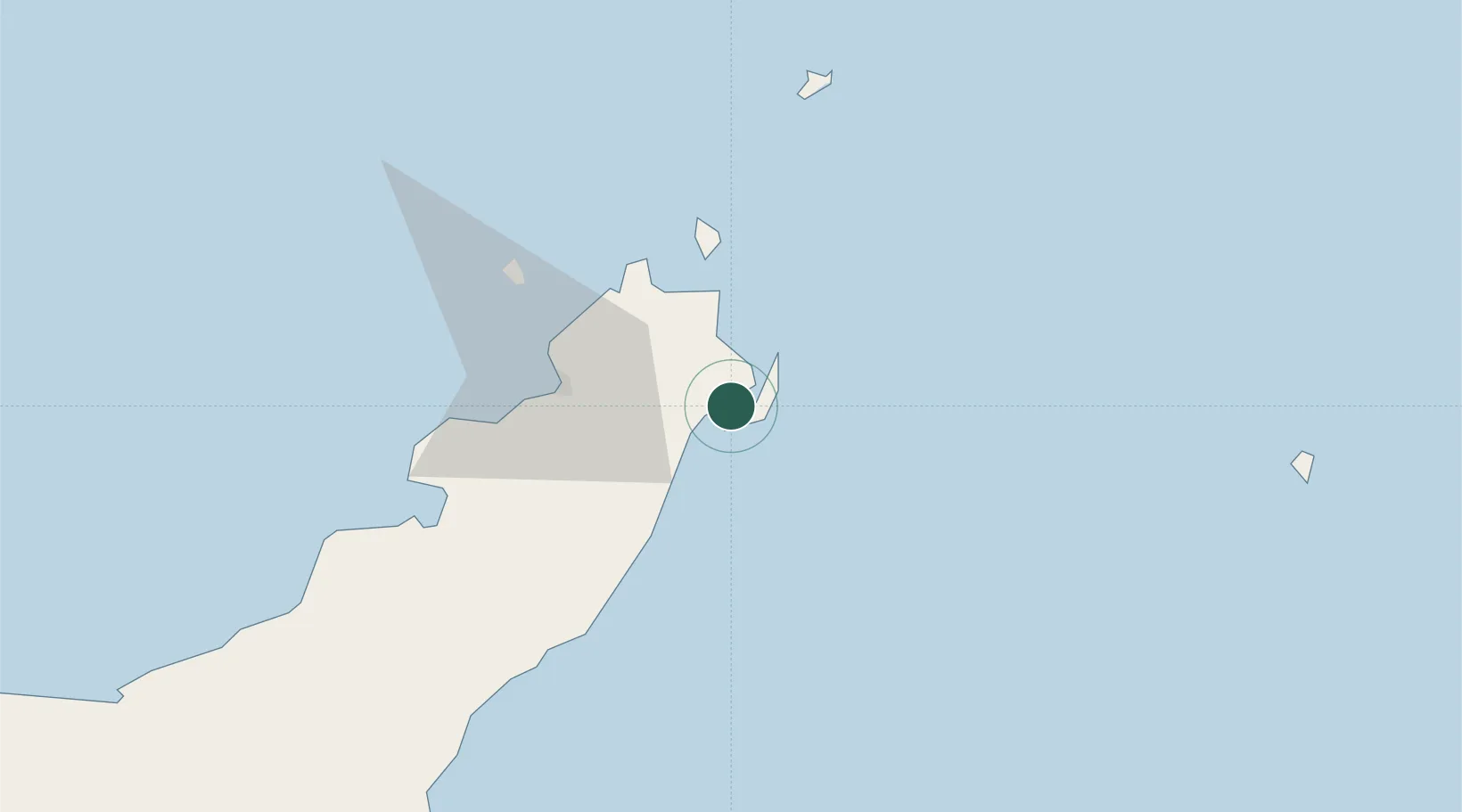
Bitung, Sulawesi
1.4412°, 125.1982°
1
Transport functions
1
Container terminals
Transport Functions
Port
Hub Profile
Logistics facilities
2
Container terminals
1
Location
Nearby Logistics Neighbours
Cities
- 1Manado30 km
- 2Gorontalo, Sulawesi258 km
- 3Sidangoli261 km
- 4Anggrek276 km
- 5Kau302 km
Airports
- 1Sam Ratulangi International Airport33 km
- 2Bolaang Mongondow Airport143 km
- 3Sultan Babullah Airport252 km
- 4Naha Airport252 km
- 5Jalaluddin Airport276 km
Trade Zones
- 1Bitung Special Economic Zone14 km
- 2KEK Likupang27 km
- 3KEK Morotai352 km
- 4Kamanga Agro-Industrial Economic Zone492 km
- 5Sarangani Marine Industrial Park494 km
DatabookThe Record of Consolidated Knowledge
Indonesia beyond logistics?