UN/LOCODE hub · Papua New Guinea
PGWWK
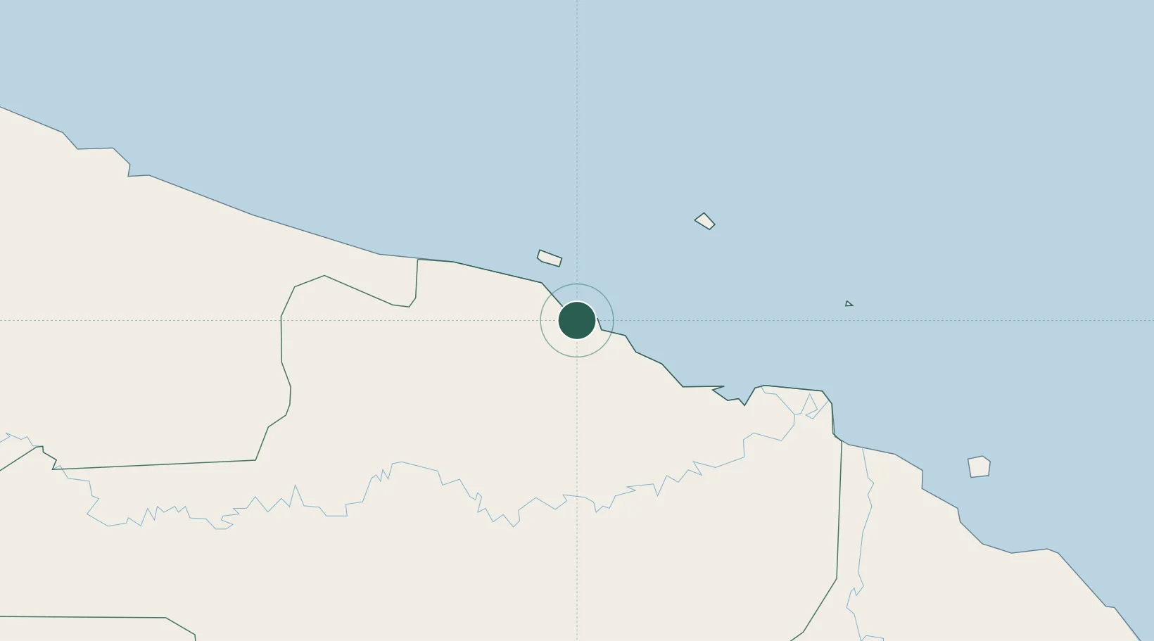
Wewak
-3.5689°, 143.6475°
18,230
Population
2
Transport functions
1
Container terminals
Transport Functions
Port
Airport
Hub Profile
Place type
Regional capital
Region
East Sepik Province
Population
18,230
Time zone
Pacific/Port_Moresby
Elevation
44 m
Logistics facilities
1
Container terminals
1
Location
Nearby Logistics Neighbours
Airports
- 1Wewak International Airport3 km
- 2Wapenamanda Airport231 km
- 3Mount Hagen Kagamuga Airport261 km
- 4Tari Airport265 km
- 5Vanimo Airport278 km
Trade Zones
DatabookThe Record of Consolidated Knowledge
Papua New Guinea beyond logistics?