Foreign Trade Zone · United States

FTZ No. 112 Colorado Springs Active

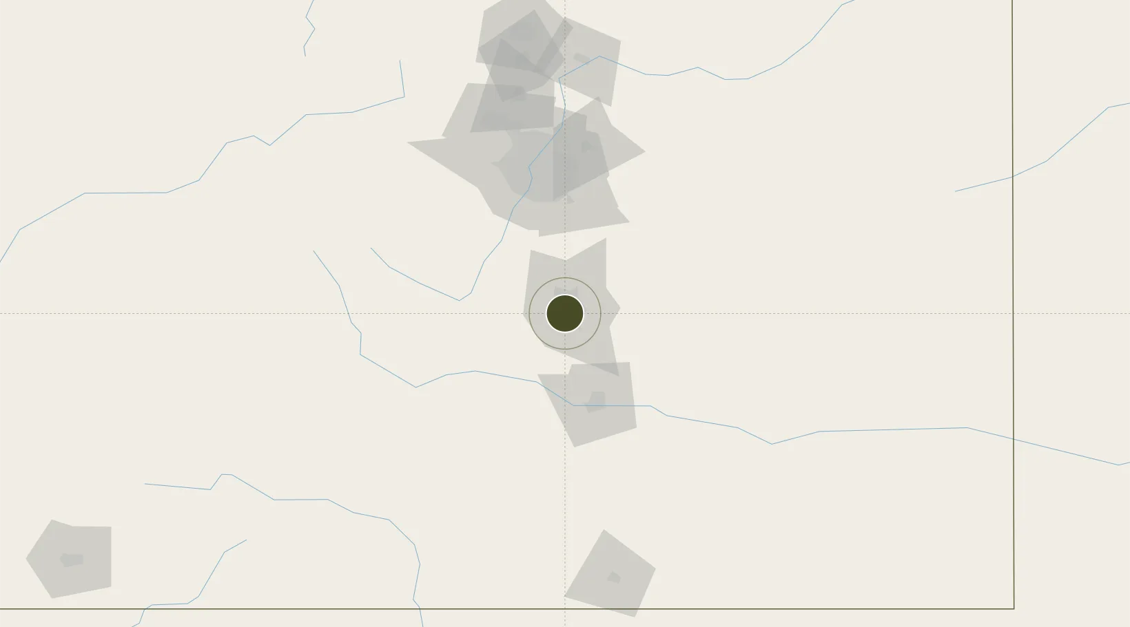
38.8328°, -104.8222°
1,304.4 km
Nearest port
10.9 km
Nearest airport

Gateway access

Nearest neighbours — logibook spatial index (haversine) over the source coordinates

Zone profile

Zone type
Foreign Trade Zone
Open Zone Map
Region
Colorado
Open Zone Map
Status
Active
Open Zone Map
Management
Public-Private Partnership
Open Zone Map
Operator
Colorado Springs Foreign-Trade Zone, Inc.
Open Zone Map
Legal framework
Foreign-Trade Zones Act
Open Zone Map

Location

Location of ozm-4978
Natural Earth 10m (public domain) · Colorado · ozm-4978 · 38.83, -104.82GoogleOSMYandex

Nearby Logistics Neighbours

Ports
  1. 1San Diego1304 km
  2. 2Newport Beach1307 km
  3. 3Ensenada1320 km
  4. 4Rosarito1321 km
  5. 5Deer Park1333 km
Nearest neighbours — logibook spatial index (haversine) over the source coordinates
Airports
  1. 1City of Colorado Springs Municipal Airport11 km
  2. 2Butts AAF (Fort Carson) Air Field18 km
  3. 3Pueblo Memorial Airport67 km
  4. 4Centennial Airport82 km
  5. 5Buckley Space Force Base97 km
Nearest neighbours — logibook spatial index (haversine) over the source coordinates
Cities
  1. 1Manitou Springs9 km
  2. 2Security11 km
  3. 3Fountain22 km
  4. 4Victor30 km
  5. 5Divide31 km
Nearest neighbours — logibook spatial index (haversine) over the source coordinates
Trade Zones
  1. 1FTZ No. 123 Denver102 km
  2. 2FTZ No. 298 Jefferson County105 km
  3. 3FTZ No. 293 Limon109 km
  4. 4FTZ No. 110 Albuquerque453 km
  5. 5FTZ No. 252 Amarillo481 km
Nearest neighbours — logibook spatial index (haversine) over the source coordinates
DatabookThe Record of Consolidated Knowledge
United States beyond logistics?
Browse databook

All Sources

Trade ZonesOpen Zone Map
CC BY
Portsthe NGA World Port Index
Public domain (US gov)
AirportsOurAirports
Public domain
LocationsUN/LOCODE
UN/LOCODE — free
← United States trade zones