Foreign Trade Zone · United States

FTZ No. 110 Albuquerque Active

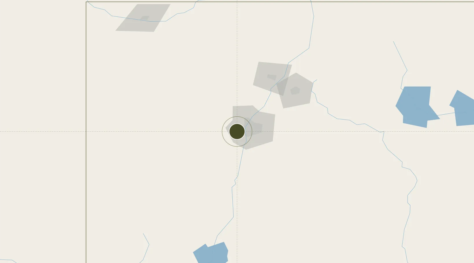
35.0823°, -106.8166°
886.3 km
Nearest port
7.3 km
Nearest airport

Gateway access

Nearest neighbours — logibook spatial index (haversine) over the source coordinates

Zone profile

Zone type
Foreign Trade Zone
Open Zone Map
Region
New Mexico
Open Zone Map
Status
Active
Open Zone Map
Management
Public
Open Zone Map
Operator
City of Albuquerque Aviation Department
Open Zone Map
Legal framework
Foreign-Trade Zones Act
Open Zone Map

Location

Location of ozm-4869
Natural Earth 10m (public domain) · New Mexico · ozm-4869 · 35.08, -106.82GoogleOSMYandex

Nearby Logistics Neighbours

Ports
  1. 1Guaymas886 km
  2. 2Ensenada978 km
  3. 3San Diego992 km
  4. 4Rosarito997 km
  5. 5Santa Rosalia1006 km
Nearest neighbours — logibook spatial index (haversine) over the source coordinates
Airports
  1. 1Double Eagle II Airport7 km
  2. 2Albuquerque International Sunport20 km
  3. 3Santa Fe Municipal Airport89 km
  4. 4Las Vegas Municipal Airport165 km
  5. 5Taos Regional Airport184 km
Nearest neighbours — logibook spatial index (haversine) over the source coordinates
Cities
  1. 1Bosque Farms28 km
  2. 2Los Lunas33 km
  3. 3Bernalillo34 km
  4. 4Dalies35 km
  5. 5Edgewood58 km
Nearest neighbours — logibook spatial index (haversine) over the source coordinates
Trade Zones
  1. 1FTZ No. 197 Dona Ana County301 km
  2. 2FTZ No. 068 El Paso365 km
  3. 3FTZ No. 150 El Paso365 km
  4. 4FTZ No. 112 Colorado Springs453 km
  5. 5FTZ No. 260 Lubbock470 km
Nearest neighbours — logibook spatial index (haversine) over the source coordinates
DatabookThe Record of Consolidated Knowledge
United States beyond logistics?
Browse databook

All Sources

Trade ZonesOpen Zone Map
CC BY
Portsthe NGA World Port Index
Public domain (US gov)
AirportsOurAirports
Public domain
LocationsUN/LOCODE
UN/LOCODE — free
← United States trade zones