UN/LOCODE hub · United States
USFYN
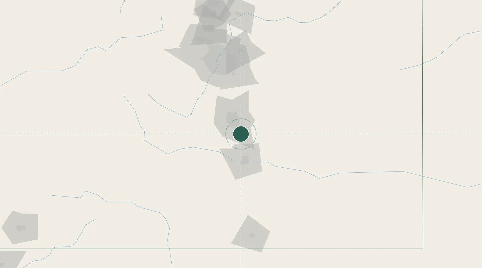
Fountain
38.6667°, -104.6833°
27,767
Population
2
Transport functions
Transport Functions
Rail
Road
Hub Profile
Place type
Populated place
Region
Colorado
Population
27,767
Time zone
America/Denver
Elevation
1,690 m
Location
Nearby Logistics Neighbours
Cities
- 1Security12 km
- 2Manitou Springs30 km
- 3Victor39 km
- 4Cripple Creek43 km
- 5Peyton43 km
Ports
- 1San Diego1307 km
- 2Deer Park1311 km
- 3Newport Beach1311 km
- 4Houston1314 km
- 5Ensenada1321 km
Airports
Trade Zones
- 1FTZ No. 112 Colorado Springs22 km
- 2FTZ No. 293 Limon109 km
- 3FTZ No. 123 Denver122 km
- 4FTZ No. 298 Jefferson County126 km
- 5FTZ No. 110 Albuquerque441 km
DatabookThe Record of Consolidated Knowledge
United States beyond logistics?