Seaport · Mexico
EnsenadaMXESE
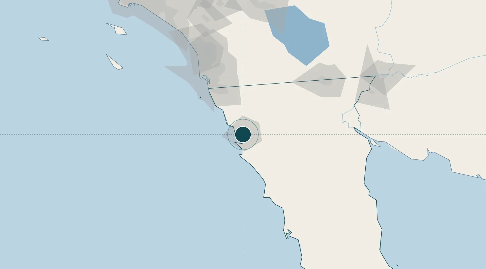
31.8667°, -116.6333°
11.0 m
Channel depth
1
Container terminals
127.0
Port liner connectivity
Channel & Berth Profile
Pilotage, Tugs & Services
Pilotage compulsoryYES
Pilotage availableYES
Pilotage advisableYES
Tug assistanceYES
Shore powerYES
Potable waterYES
Diesel bunkersYES
MedicalYES
Garbage disposalYES
Facilities & Capabilities
Container—
Ro-Ro—
Liquid bulk—
Dry bulk—
Oil terminal—
Break bulk—
Dry dock—
RepairsNO
BunkeringYES
Rail link—
Dangerous cargo—
ISPS security—
Harbour Specifications
Harbour size
Medium
Harbour type
Coastal (Breakwater)
Shelter
Good
Water body
North Pacific Ocean
Tidal range
2 m
Pilotage
Yes
Liner Connectivity
127
PLSCI
Port Liner Shipping Connectivity Index for Ensenada, as published by UNCTAD for the latest available quarter. Higher values indicate stronger scheduled liner-shipping integration.
Shown relative to the highest per-port PLSCI in the dataset (1,657.9).
Location
Container Terminals · 1
HUTCHISON ENSENADA INTERNATIONAL TERMINAL (EIT)
EIT ADMINISTRACION PORTUARIA INTEGRAL DE ENSENADA S.A. DE C.V. (HUTCHISON)
Nearby Logistics Neighbours
Ports
- 1Rosarito71 km
- 2San Diego108 km
- 3Newport Beach228 km
- 4Avalon228 km
- 5Long Beach256 km
Cities
- 1Santo Tomas39 km
- 2Midland61 km
- 3Rosarito64 km
- 4Rosarito Terminal68 km
- 5Tijuana72 km
Airports
Trade Zones
- 1FTZ No. 153 San Diego92 km
- 2FTZ No. 257 Imperial County143 km
- 3FTZ No. 219 Yuma212 km
- 4FTZ No. 236 Palm Springs218 km
- 5FTZ No. 244 Riverside County235 km
DatabookThe Record of Consolidated Knowledge
Mexico beyond logistics?