Medium airport · United States

Butts AAF (Fort Carson) Air FieldKFCS

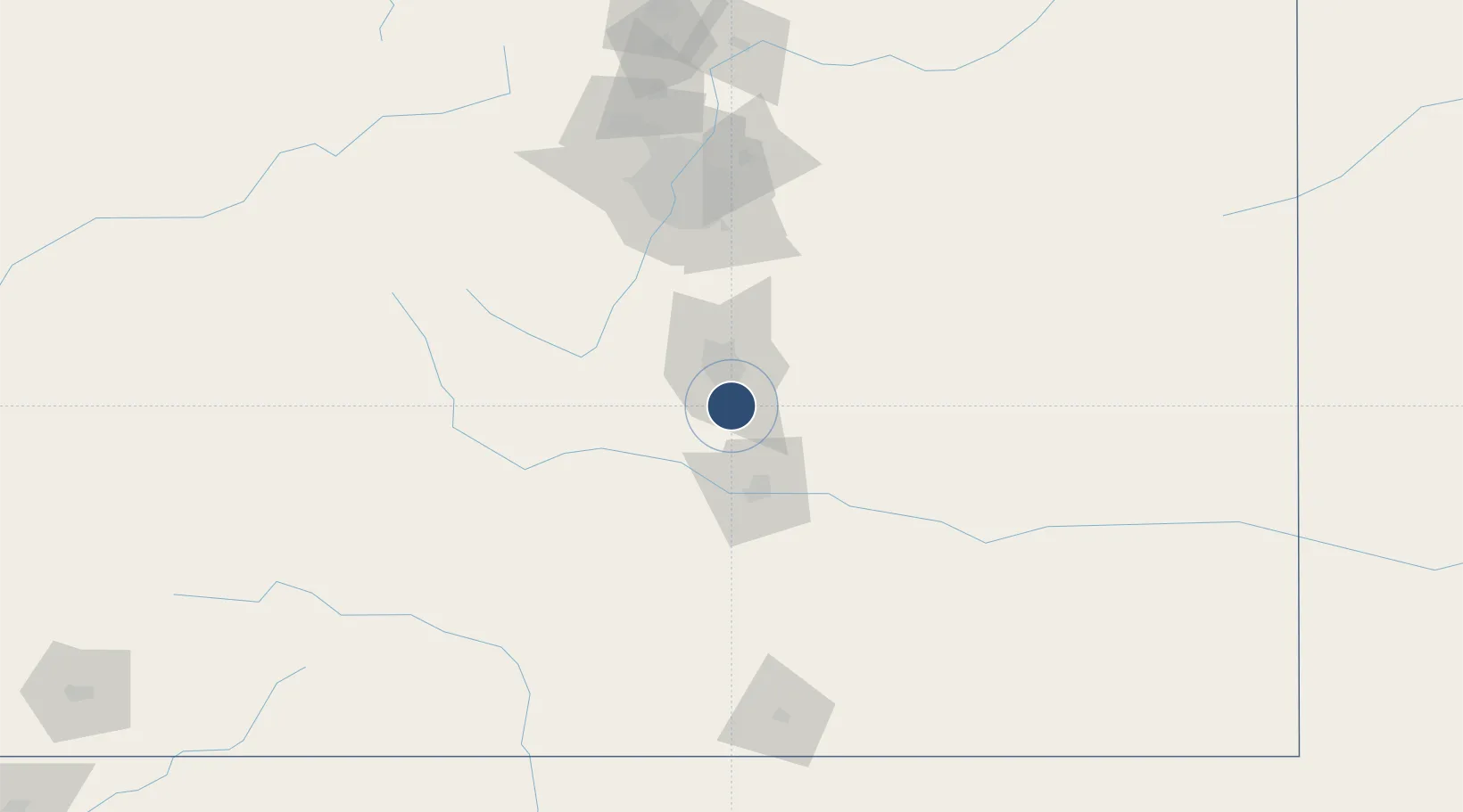
38.6784°, -104.7570°
4,500 ft
Longest runway
1
Runways
5,838 ft
Elevation

Runway & Layout

Butts AAF (Fort Carson) Air Field runway & taxiway layout
Runway & taxiway layout — OpenStreetMap (ODbL) / OurAirports

Radio Frequencies

ATIS
108.8 MHz
TWR
125.5 MHz
A/D
124 MHz
SPRINGS APP/DEP
A/G
38.35 MHz
FLT FLW
PMSV
44.1 MHz
PMSV METRO
PTD
141.15 MHz
PTD/OPS
OurAirports

Navaids

FCS VOR-DME Butts 108.80 MHz
IHS NDB Ironhorse 335 kHz
OurAirports

Runways · 1

RunwayDimensions SurfaceTrue headingLit
13/31 4,500 × 75ft Asphalt 137°
OurAirports

Airport Specifications

IATA code
FCS
OurAirports
ICAO code
KFCS
OurAirports
Airport class
Medium airport
OurAirports
Scheduled service
No
OurAirports
Runway surface
Asphalt
OurAirports
Served city
Fort Carson
OurAirports

Location

Location of KFCS
Natural Earth 10m (public domain) · Colorado · KFCS · 38.68, -104.76GoogleOSMYandex

Nearby Logistics Neighbours

Airports
  1. 1City of Colorado Springs Municipal Airport15 km
  2. 2Pueblo Memorial Airport49 km
  3. 3Centennial Airport100 km
  4. 4Buckley Space Force Base114 km
  5. 5Denver International Airport132 km
Nearest neighbours — logibook spatial index (haversine) over the source coordinates
Cities
  1. 1Fountain7 km
  2. 2Security10 km
  3. 3Manitou Springs25 km
  4. 4Victor33 km
  5. 5Cripple Creek36 km
Nearest neighbours — logibook spatial index (haversine) over the source coordinates
Ports
  1. 1San Diego1302 km
  2. 2Newport Beach1306 km
  3. 3Ensenada1316 km
  4. 4Deer Park1316 km
  5. 5Rosarito1317 km
Nearest neighbours — logibook spatial index (haversine) over the source coordinates
Trade Zones
  1. 1FTZ No. 112 Colorado Springs18 km
  2. 2FTZ No. 293 Limon113 km
  3. 3FTZ No. 123 Denver120 km
  4. 4FTZ No. 298 Jefferson County123 km
  5. 5FTZ No. 110 Albuquerque440 km
Nearest neighbours — logibook spatial index (haversine) over the source coordinates
DatabookThe Record of Consolidated Knowledge
United States beyond logistics?
Browse databook

All Sources

AirportsOurAirports
Public domain
Portsthe NGA World Port Index
Public domain (US gov)
LocationsUN/LOCODE
UN/LOCODE — free
Trade Zonesthe World Bank SEZ database
CC BY 4.0
Trade ZonesOpen Zone Map
CC BY
InfrastructureOpenStreetMap
ODbL 1.0
← United States airports