Large airport · United States
City of Colorado Springs Municipal AirportKCOS
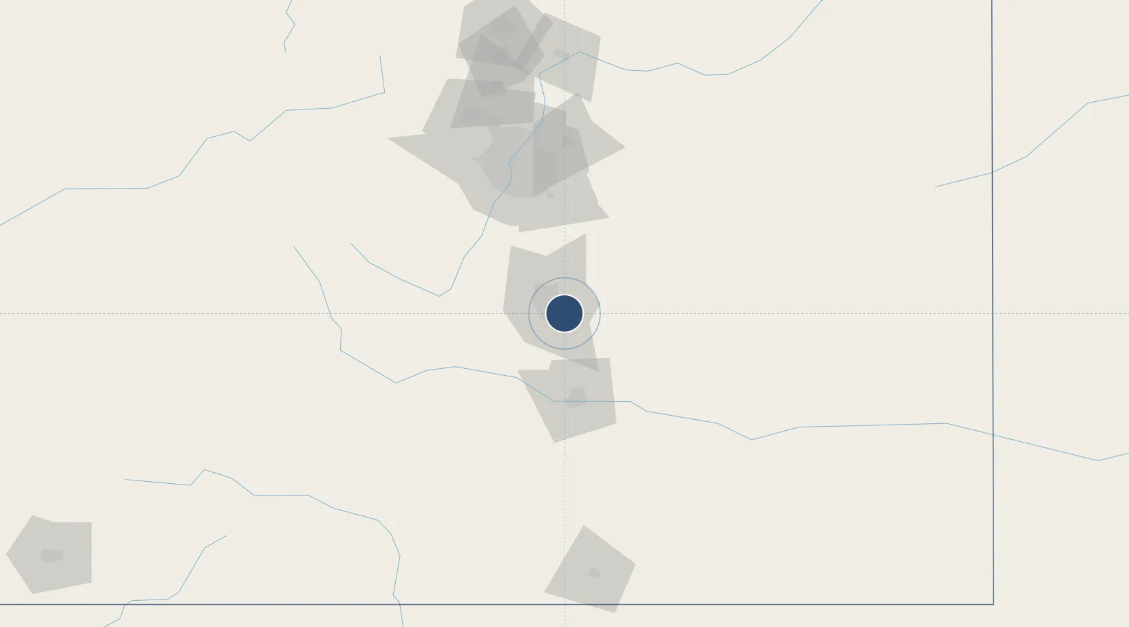
38.8058°, -104.7010°
13,500 ft
Longest runway
3
Runways
6,187 ft
Elevation
Runway & Layout

Radio Frequencies
ATIS
125 MHz
TWR
119.9 MHz
SPRINGS TWR
GND
121.7 MHz
CLD
134.45 MHz
CLNC DEL
APP
118.5 MHz
SPRINGS APP
DEP
124 MHz
SPRINGS DEP
CTAF
124.15 MHz
OPS
29.84 MHz
AFRC OPS
PMSV
34.92 MHz
PMSV PETERSON METRO
PTD
122.85 MHz
PETERSON PTD
RDO
122.25 MHz
DENVER RDO
UNIC
122.95 MHz
UNICOM
Navaids
CO NDB Petey 407 kHz
Runways · 3
| Runway | Dimensions | Surface | True heading | Lit |
|---|---|---|---|---|
| 17L/35R | 13,500 × 150ft | Concrete | 180° | ✓ |
| 17R/35L | 11,022 × 150ft | Asphalt | 180° | ✓ |
| 12/30 | 8,272 × 150ft | Asphalt | 135° | ✓ |
Airport Specifications
IATA code
COS
ICAO code
KCOS
Airport class
Large airport
Scheduled service
Yes
Runway surface
Concrete
Served city
Colorado Springs
Location
Nearby Logistics Neighbours
Airports
- 1Butts AAF (Fort Carson) Air Field15 km
- 2Pueblo Memorial Airport60 km
- 3Centennial Airport86 km
- 4Buckley Space Force Base100 km
- 5Denver International Airport117 km
Cities
- 1Security5 km
- 2Fountain16 km
- 3Manitou Springs20 km
- 4Peyton30 km
- 5Victor39 km
Ports
- 1San Diego1312 km
- 2Newport Beach1316 km
- 3Deer Park1323 km
- 4Houston1326 km
- 5Ensenada1327 km
Trade Zones
- 1FTZ No. 112 Colorado Springs11 km
- 2FTZ No. 293 Limon101 km
- 3FTZ No. 123 Denver107 km
- 4FTZ No. 298 Jefferson County111 km
- 5FTZ No. 110 Albuquerque455 km
DatabookThe Record of Consolidated Knowledge
United States beyond logistics?