Foreign Trade Zone · United States

FTZ No. 298 Jefferson County Active

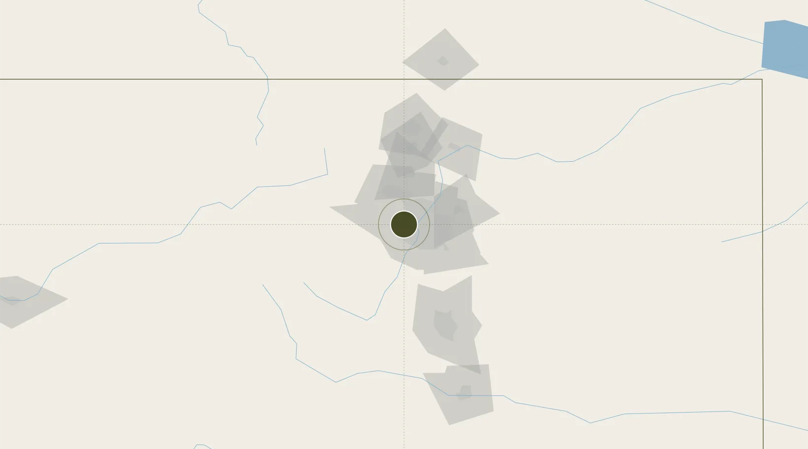
39.7418°, -105.1549°
1,311.7 km
Nearest port
18.8 km
Nearest airport

Gateway access

Nearest neighbours — logibook spatial index (haversine) over the source coordinates

Zone profile

Zone type
Foreign Trade Zone
Open Zone Map
Region
Colorado
Open Zone Map
Status
Active
Open Zone Map
Management
Public-Private Partnership
Open Zone Map
Operator
North Central Pennsylvania Regional Planning and Development Commission
Open Zone Map
Legal framework
Foreign-Trade Zones Act
Open Zone Map

Location

Location of ozm-4980
Natural Earth 10m (public domain) · Colorado · ozm-4980 · 39.74, -105.15GoogleOSMYandex

Nearby Logistics Neighbours

Ports
  1. 1Duluth1312 km
  2. 2Superior1312 km
  3. 3Newport Beach1323 km
  4. 4San Diego1330 km
  5. 5Rosarito1349 km
Nearest neighbours — logibook spatial index (haversine) over the source coordinates
Airports
  1. 1Rocky Mountain Metropolitan Airport19 km
  2. 2Centennial Airport32 km
  3. 3Buckley Space Force Base35 km
  4. 4Denver International Airport43 km
  5. 5Northern Colorado Regional Airport80 km
Nearest neighbours — logibook spatial index (haversine) over the source coordinates
Cities
  1. 1Arvada9 km
  2. 2Glendale20 km
  3. 3Thornton21 km
  4. 4Irondale25 km
  5. 5Highlands Ranch27 km
Nearest neighbours — logibook spatial index (haversine) over the source coordinates
Trade Zones
  1. 1FTZ No. 123 Denver14 km
  2. 2FTZ No. 112 Colorado Springs105 km
  3. 3FTZ No. 293 Limon137 km
  4. 4FTZ No. 110 Albuquerque539 km
  5. 5FTZ No. 252 Amarillo582 km
Nearest neighbours — logibook spatial index (haversine) over the source coordinates
DatabookThe Record of Consolidated Knowledge
United States beyond logistics?
Browse databook

All Sources

Trade ZonesOpen Zone Map
CC BY
Portsthe NGA World Port Index
Public domain (US gov)
AirportsOurAirports
Public domain
LocationsUN/LOCODE
UN/LOCODE — free
← United States trade zones