UN/LOCODE hub · United States
USMS8
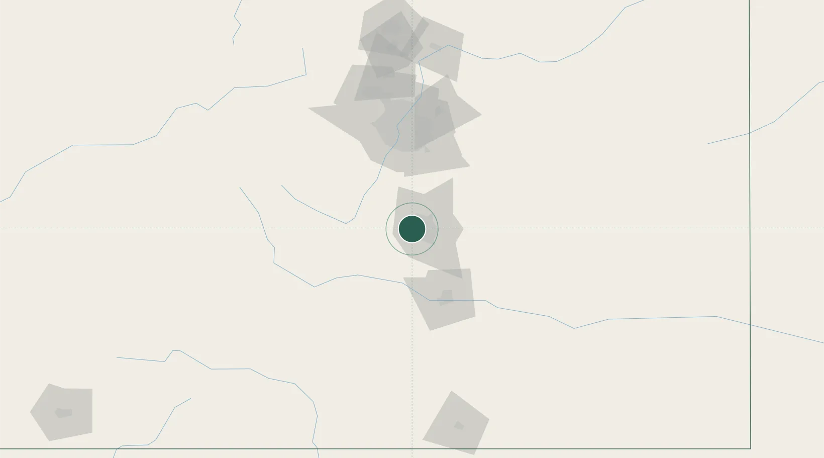
Manitou Springs
38.8667°, -104.9167°
5,334
Population
3
Transport functions
Transport Functions
Rail
Road
Multimodal
Hub Profile
Place type
Populated place
Region
Colorado
Population
5,334
Time zone
America/Denver
Elevation
1,938 m
Location
Nearby Logistics Neighbours
Cities
- 1Security19 km
- 2Divide22 km
- 3Victor25 km
- 4Cripple Creek26 km
- 5Fountain30 km
Ports
- 1San Diego1299 km
- 2Newport Beach1301 km
- 3Ensenada1315 km
- 4Rosarito1315 km
- 5Guaymas1338 km
Airports
Trade Zones
- 1FTZ No. 112 Colorado Springs9 km
- 2FTZ No. 123 Denver97 km
- 3FTZ No. 298 Jefferson County99 km
- 4FTZ No. 293 Limon115 km
- 5FTZ No. 110 Albuquerque453 km
DatabookThe Record of Consolidated Knowledge
United States beyond logistics?