Seaport · United States
San DiegoUSSAN
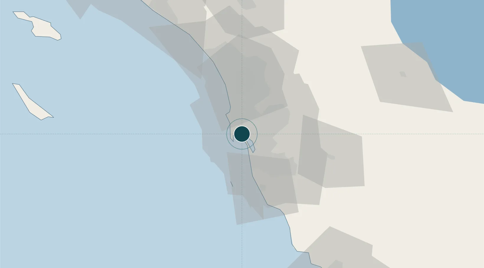
32.7167°, -117.1833°
11.0 m
Channel depth
1
Container terminals
13.9
Port liner connectivity
Channel & Berth Profile
Pilotage, Tugs & Services
Pilotage compulsoryYES
Pilotage availableYES
Pilotage advisableYES
Tug assistanceYES
Shore powerYES
Potable waterYES
Diesel bunkersYES
MedicalYES
Garbage disposalYES
Facilities & Capabilities
Container—
Ro-Ro—
Liquid bulk—
Dry bulk—
Oil terminal—
Break bulk—
Dry dockNO
RepairsNO
BunkeringYES
Rail linkYES
Dangerous cargo—
ISPS security—
Harbour Specifications
Harbour size
Medium
Harbour type
Coastal (Natural)
Shelter
Excellent
Water body
North Pacific Ocean
Tidal range
1.2 m
Pilotage
Yes
Liner Connectivity
13.9
PLSCI
Port Liner Shipping Connectivity Index for San Diego, as published by UNCTAD for the latest available quarter. Higher values indicate stronger scheduled liner-shipping integration.
Shown relative to the highest per-port PLSCI in the dataset (1,657.9).
Location
Container Terminals · 1
TENTH AVENUE MARINE TERMINAL
TAMT PORT OF SAN DIEGO
Nearby Logistics Neighbours
Ports
- 1Rosarito40 km
- 2Ensenada108 km
- 3Newport Beach120 km
- 4Avalon127 km
- 5Long Beach149 km
Cities
- 1Coronado4 km
- 2Lemon Grove14 km
- 3Bonita17 km
- 4Spring Valley, San Diego19 km
- 5Sorrento21 km
Airports
Trade Zones
- 1FTZ No. 153 San Diego16 km
- 2FTZ No. 244 Riverside County133 km
- 3FTZ No. 236 Palm Springs138 km
- 4FTZ No. 050 Long Beach151 km
- 5FTZ No. 257 Imperial County153 km
DatabookThe Record of Consolidated Knowledge
United States beyond logistics?