Transport Functions
Road
Multimodal
Hub Profile
Place type
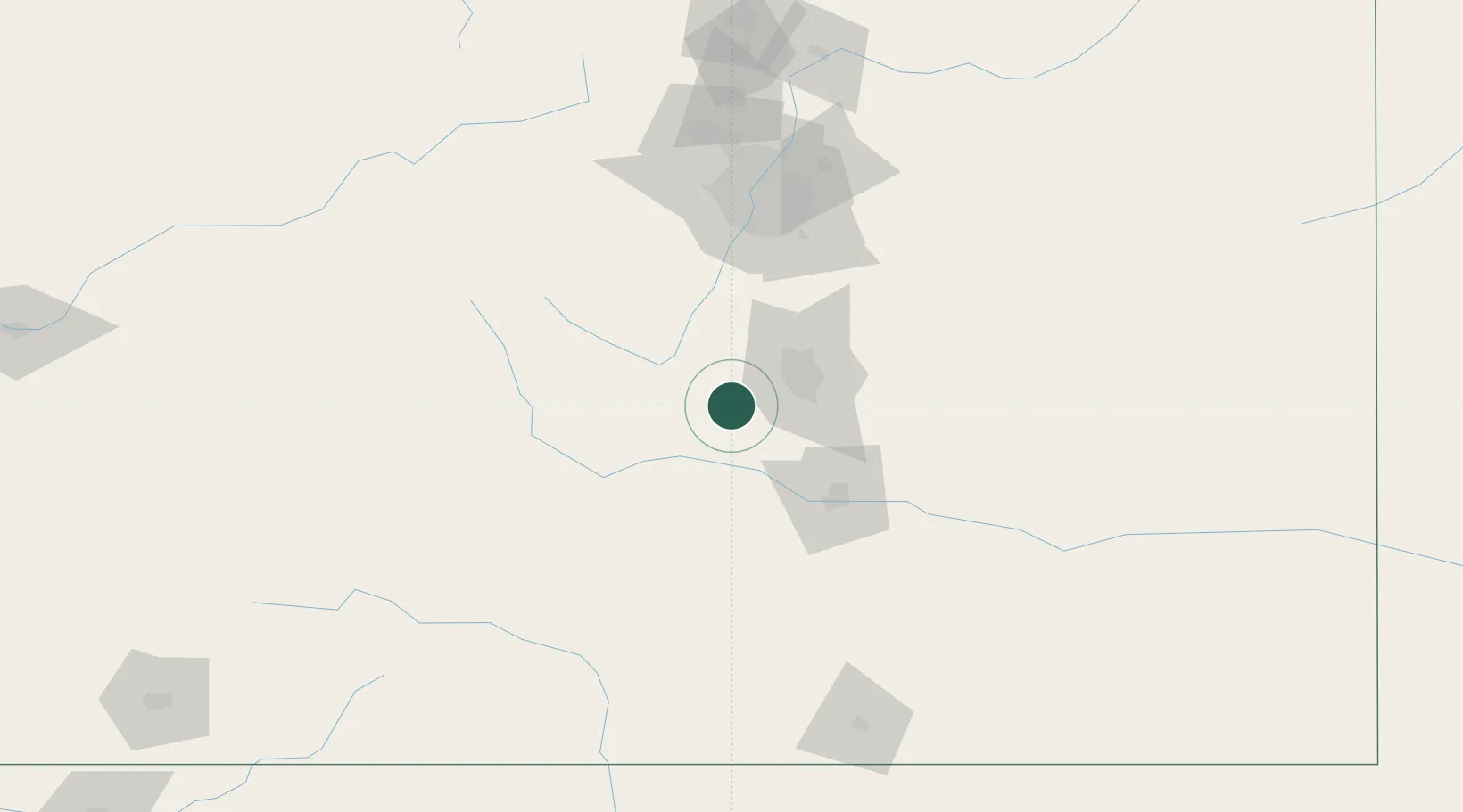
Populated place
Region
Colorado
Population
389
Time zone
America/Denver
Elevation
2,959 m
Location
Nearby Logistics Neighbours
Cities
- 1Cripple Creek3 km
- 2Manitou Springs25 km
- 3Divide26 km
- 4Security35 km
- 5Florence37 km
Ports
- 1San Diego1275 km
- 2Newport Beach1277 km
- 3Ensenada1290 km
- 4Rosarito1291 km
- 5Guaymas1315 km
Airports
Trade Zones
- 1FTZ No. 112 Colorado Springs30 km
- 2FTZ No. 298 Jefferson County114 km
- 3FTZ No. 123 Denver115 km
- 4FTZ No. 293 Limon139 km
- 5FTZ No. 110 Albuquerque431 km
DatabookThe Record of Consolidated Knowledge
United States beyond logistics?