Medium airport · United States

Buckley Space Force BaseKBKF

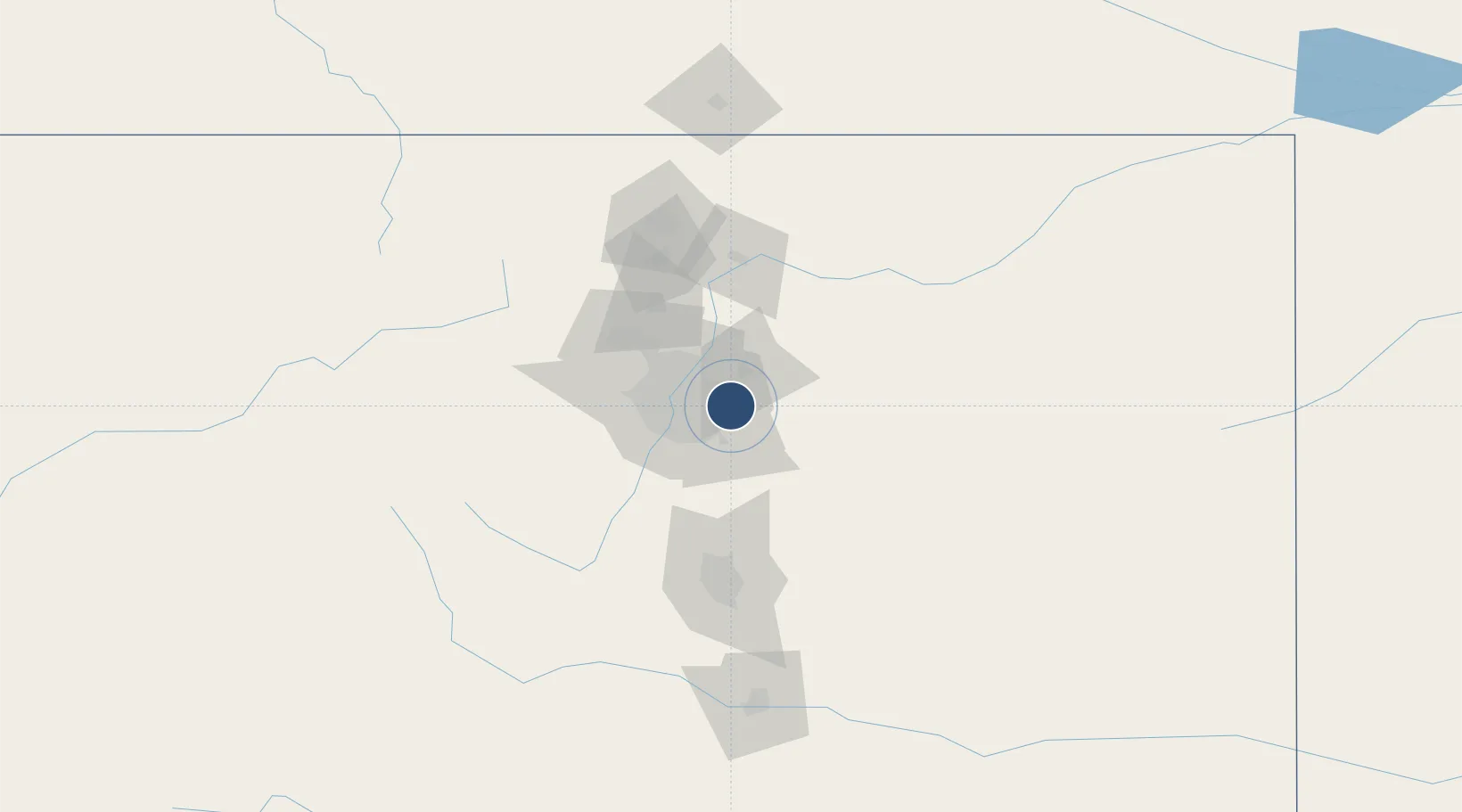
39.7017°, -104.7520°
11,006 ft
Longest runway
1
Runways
5,662 ft
Elevation

Runway & Layout

Buckley Space Force Base runway & taxiway layout
Runway & taxiway layout — OpenStreetMap (ODbL) / OurAirports

Radio Frequencies

ATIS
119.675 MHz
TWR
121 MHz
GND
121.6 MHz
GND/CLNC DEL
A/D
128.45 MHz
DENVER APP/DEP
PMSV
22.845 MHz
PMSV METRO
PTD
37.22 MHz
OurAirports

Navaids

BKF TACAN Buckley 109.60 MHz
OurAirports

Runways · 1

RunwayDimensions SurfaceTrue headingLit
14/32 11,006 × 150ft Asphalt / concrete 151°
OurAirports

Airport Specifications

IATA code
BFK
OurAirports
ICAO code
KBKF
OurAirports
Airport class
Medium airport
OurAirports
Scheduled service
No
OurAirports
Runway surface
Asphalt / concrete
OurAirports
Served city
Aurora
OurAirports

Location

Location of KBKF
Natural Earth 10m (public domain) · Colorado · KBKF · 39.70, -104.75GoogleOSMYandex

Nearby Logistics Neighbours

Airports
  1. 1Centennial Airport17 km
  2. 2Denver International Airport19 km
  3. 3Rocky Mountain Metropolitan Airport39 km
  4. 4Northern Colorado Regional Airport86 km
  5. 5City of Colorado Springs Municipal Airport100 km
Nearest neighbours — logibook spatial index (haversine) over the source coordinates
Cities
  1. 1Loan Tree15 km
  2. 2Glendale16 km
  3. 3Centennial18 km
  4. 4Irondale18 km
  5. 5Parker21 km
Nearest neighbours — logibook spatial index (haversine) over the source coordinates
Ports
  1. 1Duluth1289 km
  2. 2Superior1289 km
  3. 3Newport Beach1352 km
  4. 4San Diego1357 km
  5. 5Rosarito1376 km
Nearest neighbours — logibook spatial index (haversine) over the source coordinates
Trade Zones
  1. 1FTZ No. 123 Denver21 km
  2. 2FTZ No. 298 Jefferson County35 km
  3. 3FTZ No. 112 Colorado Springs97 km
  4. 4FTZ No. 293 Limon104 km
  5. 5FTZ No. 110 Albuquerque545 km
Nearest neighbours — logibook spatial index (haversine) over the source coordinates
DatabookThe Record of Consolidated Knowledge
United States beyond logistics?
Browse databook

All Sources

AirportsOurAirports
Public domain
Portsthe NGA World Port Index
Public domain (US gov)
LocationsUN/LOCODE
UN/LOCODE — free
Trade Zonesthe World Bank SEZ database
CC BY 4.0
Trade ZonesOpen Zone Map
CC BY
InfrastructureOpenStreetMap
ODbL 1.0
← United States airports