Transport Functions
Rail
Road
Multimodal
Hub Profile
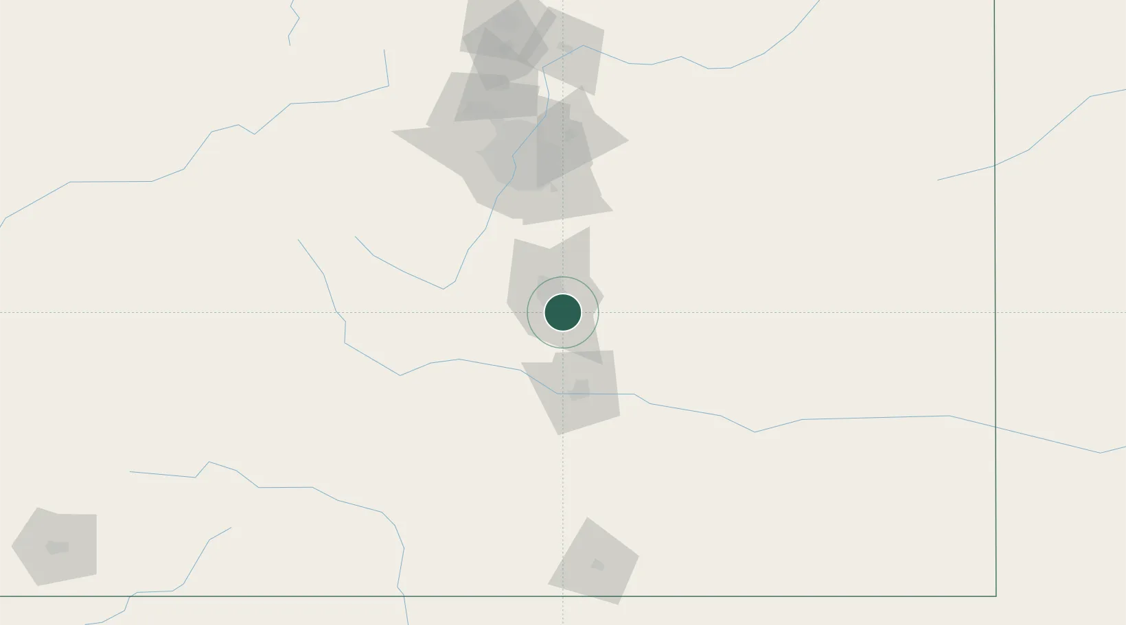
Place type
Populated place
Region
Colorado
Time zone
America/Denver
Elevation
1,755 m
Location
Nearby Logistics Neighbours
Cities
- 1Fountain12 km
- 2Manitou Springs19 km
- 3Victor35 km
- 4Peyton35 km
- 5Cripple Creek38 km
Ports
- 1San Diego1308 km
- 2Newport Beach1311 km
- 3Deer Park1322 km
- 4Ensenada1323 km
- 5Rosarito1324 km
Airports
Trade Zones
- 1FTZ No. 112 Colorado Springs11 km
- 2FTZ No. 293 Limon106 km
- 3FTZ No. 123 Denver111 km
- 4FTZ No. 298 Jefferson County114 km
- 5FTZ No. 110 Albuquerque450 km
DatabookThe Record of Consolidated Knowledge
United States beyond logistics?