Transport Functions
Road
Multimodal
Hub Profile
Place type
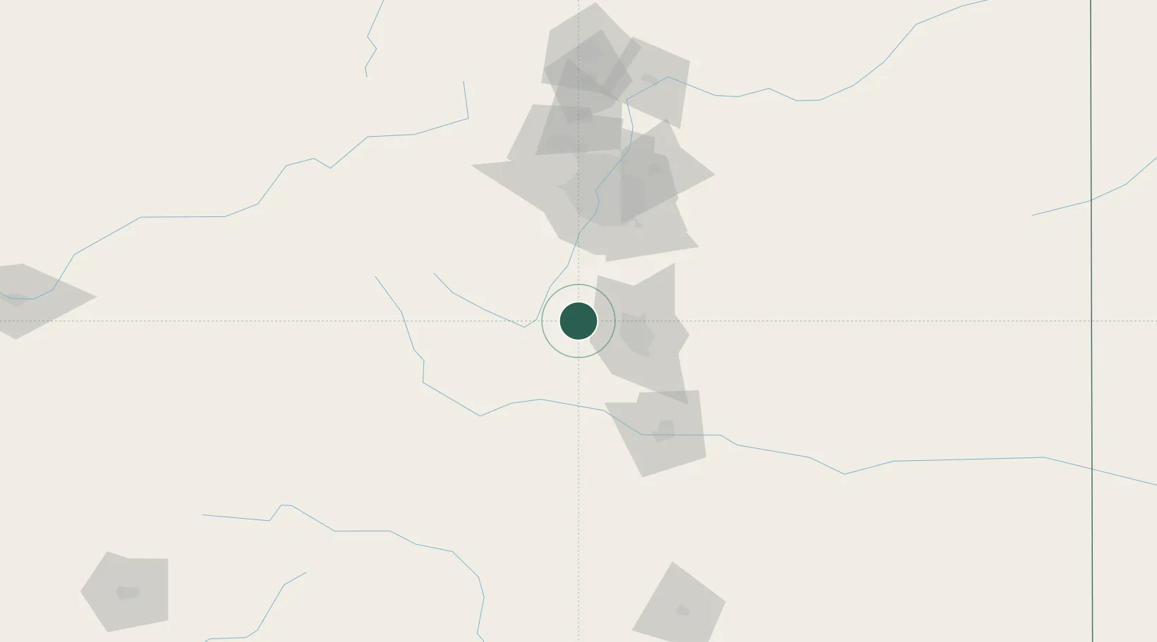
Populated place
Region
Colorado
Population
127
Time zone
America/Denver
Elevation
2,799 m
Location
Nearby Logistics Neighbours
Cities
- 1Manitou Springs22 km
- 2Cripple Creek24 km
- 3Victor26 km
- 4Security41 km
- 5Fountain51 km
Ports
- 1San Diego1286 km
- 2Newport Beach1286 km
- 3Rosarito1303 km
- 4Ensenada1303 km
- 5Guaymas1338 km
Airports
Trade Zones
- 1FTZ No. 112 Colorado Springs31 km
- 2FTZ No. 298 Jefferson County88 km
- 3FTZ No. 123 Denver89 km
- 4FTZ No. 293 Limon131 km
- 5FTZ No. 110 Albuquerque455 km
DatabookThe Record of Consolidated Knowledge
United States beyond logistics?