Channel & Berth Profile
Pilotage, Tugs & Services
Shore powerYES
Potable waterYES
Diesel bunkersYES
MedicalYES
Facilities & Capabilities
Container—
Ro-Ro—
Liquid bulk—
Dry bulk—
Oil terminal—
Break bulk—
Dry dock—
RepairsNO
BunkeringYES
Rail link—
Dangerous cargo—
ISPS security—
Harbour Specifications
Harbour size
Very Small
Harbour type
Coastal (Natural)
Shelter
Excellent
Water body
North Pacific Ocean
Tidal range
1.2 m
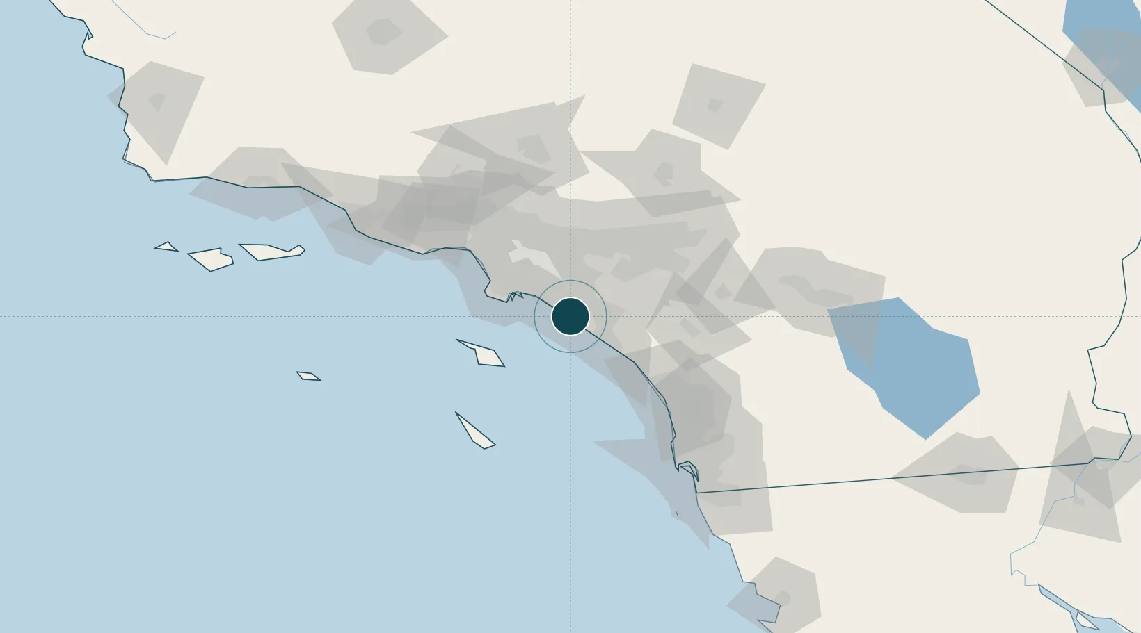
Location
Nearby Logistics Neighbours
Ports
- 1Long Beach31 km
- 2Los Angeles36 km
- 3Avalon49 km
- 4El Segundo60 km
- 5San Diego120 km
Cities
- 1Corona del Mar4 km
- 2Los Alamitos26 km
- 3Esperanza31 km
- 4San Pedro34 km
- 5Thenard36 km
Airports
Trade Zones
- 1FTZ No. 050 Long Beach31 km
- 2FTZ No. 202 Los Angeles38 km
- 3FTZ No. 244 Riverside County65 km
- 4FTZ No. 191 Palmdale109 km
- 5FTZ No. 243 Victorville118 km
DatabookThe Record of Consolidated Knowledge
United States beyond logistics?