Channel & Berth Profile
Pilotage, Tugs & Services
Pilotage compulsoryYES
Pilotage availableYES
Tug assistanceNO
Salvage tugsNO
Shore powerNO
Potable waterNO
Diesel bunkersNO
MedicalYES
Facilities & Capabilities
Container—
Ro-Ro—
Liquid bulk—
Dry bulk—
Oil terminal—
Break bulk—
Dry dock—
Repairs—
BunkeringNO
Rail link—
Dangerous cargo—
ISPS security—
Harbour Specifications
Harbour size
Very Small
Harbour type
Open Roadstead
Shelter
Poor
Water body
North Pacific Ocean
Pilotage
Yes
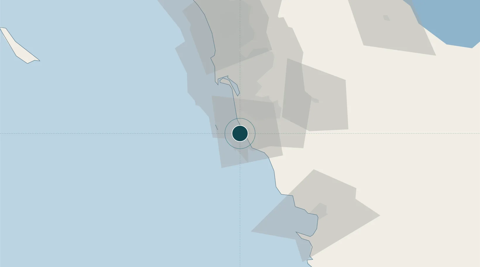
Location
Nearby Logistics Neighbours
Ports
- 1San Diego40 km
- 2Ensenada71 km
- 3Avalon158 km
- 4Newport Beach158 km
- 5Long Beach186 km
Airports
Trade Zones
- 1FTZ No. 153 San Diego27 km
- 2FTZ No. 257 Imperial County152 km
- 3FTZ No. 236 Palm Springs171 km
- 4FTZ No. 244 Riverside County173 km
- 5FTZ No. 050 Long Beach187 km
DatabookThe Record of Consolidated Knowledge
Mexico beyond logistics?