Medium airport · United States
Centennial AirportKAPA
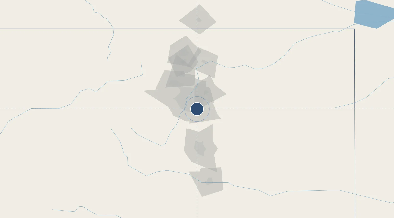
39.5701°, -104.8490°
10,001 ft
Longest runway
3
Runways
5,885 ft
Elevation
Runway & Layout

Radio Frequencies
ATIS
120.3 MHz
TWR
118.9 MHz
GND
121.8 MHz
CLD
128.6 MHz
CLNC DEL
A/D
132.75 MHz
DENVER APP/DEP
RDO
122.2 MHz
DENVER RDO
UNIC
122.95 MHz
UNICOM
Runways · 3
| Runway | Dimensions | Surface | True heading | Lit |
|---|---|---|---|---|
| 17L/35R | 10,001 × 100ft | Asphalt | 178° | ✓ |
| 17R/35L | 7,001 × 75ft | Asphalt | 178° | ✓ |
| 10/28 | 4,800 × 75ft | Asphalt | 111° | ✓ |
Airport Specifications
IATA code
APA
ICAO code
KAPA
Airport class
Medium airport
Scheduled service
No
Runway surface
Asphalt
Served city
Denver
Location
Nearby Logistics Neighbours
Airports
Cities
- 1Centennial2 km
- 2Loan Tree4 km
- 3Lone Tree5 km
- 4Gateway6 km
- 5Highlands Ranch10 km
Ports
- 1Duluth1305 km
- 2Superior1305 km
- 3Newport Beach1338 km
- 4San Diego1342 km
- 5Rosarito1361 km
Trade Zones
- 1FTZ No. 123 Denver23 km
- 2FTZ No. 298 Jefferson County32 km
- 3FTZ No. 112 Colorado Springs82 km
- 4FTZ No. 293 Limon106 km
- 5FTZ No. 110 Albuquerque528 km
DatabookThe Record of Consolidated Knowledge
United States beyond logistics?