Medium airport · United States

Pueblo Memorial AirportKPUB

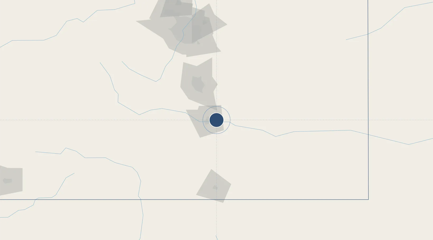
38.2891°, -104.4970°
10,498 ft
Longest runway
3
Runways
4,726 ft
Elevation

Runway & Layout

Pueblo Memorial Airport runway & taxiway layout
Runway & taxiway layout — OpenStreetMap (ODbL) / OurAirports

Radio Frequencies

ATIS
125.25 MHz
TWR
119.1 MHz
GND
121.9 MHz
CTAF
119.1 MHz
A/D
120.1 MHz
APP/DEP
RDO
122.2 MHz
DENVER RDO
UNIC
122.95 MHz
UNICOM
OurAirports

Navaids

PU NDB Mertz 302 kHz
TF NDB Aruba 373 kHz
OurAirports

Runways · 3

RunwayDimensions SurfaceTrue headingLit
08R/26L 10,498 × 150ft Asphalt 088°
17/35 8,310 × 150ft Asphalt 178°
08L/26R 4,690 × 75ft Asphalt 088°
OurAirports

Airport Specifications

IATA code
PUB
OurAirports
ICAO code
KPUB
OurAirports
Airport class
Medium airport
OurAirports
Scheduled service
Yes
OurAirports
Runway surface
Asphalt
OurAirports
Served city
Pueblo
OurAirports

Location

Location of KPUB
Natural Earth 10m (public domain) · Colorado · KPUB · 38.29, -104.50GoogleOSMYandex

Nearby Logistics Neighbours

Airports
  1. 1Butts AAF (Fort Carson) Air Field49 km
  2. 2City of Colorado Springs Municipal Airport60 km
  3. 3Centennial Airport146 km
  4. 4San Luis Valley Regional Airport/Bergman Field153 km
  5. 5Buckley Space Force Base159 km
Nearest neighbours — logibook spatial index (haversine) over the source coordinates
Cities
  1. 1Fountain45 km
  2. 2Florence57 km
  3. 3Security57 km
  4. 4Victor73 km
  5. 5Manitou Springs74 km
Nearest neighbours — logibook spatial index (haversine) over the source coordinates
Ports
  1. 1Deer Park1269 km
  2. 2Houston1272 km
  3. 3Pasadena1279 km
  4. 4Baytown1290 km
  5. 5Guaymas1298 km
Nearest neighbours — logibook spatial index (haversine) over the source coordinates
Trade Zones
  1. 1FTZ No. 112 Colorado Springs67 km
  2. 2FTZ No. 293 Limon129 km
  3. 3FTZ No. 123 Denver167 km
  4. 4FTZ No. 298 Jefferson County171 km
  5. 5FTZ No. 110 Albuquerque412 km
Nearest neighbours — logibook spatial index (haversine) over the source coordinates
DatabookThe Record of Consolidated Knowledge
United States beyond logistics?
Browse databook

All Sources

AirportsOurAirports
Public domain
Portsthe NGA World Port Index
Public domain (US gov)
LocationsUN/LOCODE
UN/LOCODE — free
Trade Zonesthe World Bank SEZ database
CC BY 4.0
Trade ZonesOpen Zone Map
CC BY
InfrastructureOpenStreetMap
ODbL 1.0
← United States airports