Foreign Trade Zone · United States

FTZ No. 123 Denver Active

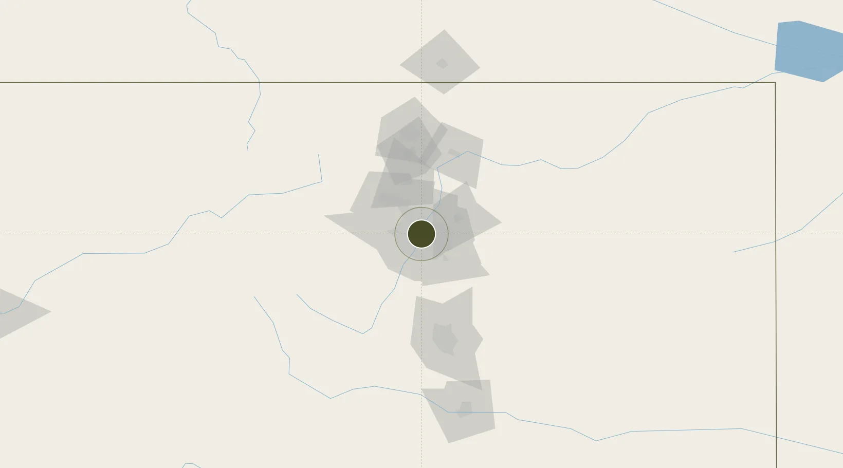
39.7410°, -104.9899°
1,301.1 km
Nearest port
20.8 km
Nearest airport

Gateway access

Nearest neighbours — logibook spatial index (haversine) over the source coordinates

Zone profile

Zone type
Foreign Trade Zone
Open Zone Map
Region
Colorado
Open Zone Map
Status
Active
Open Zone Map
Management
Public
Open Zone Map
Operator
City and County of Denver
Open Zone Map
Legal framework
Foreign-Trade Zones Act
Open Zone Map

Location

Location of ozm-4876
Natural Earth 10m (public domain) · Colorado · ozm-4876 · 39.74, -104.99GoogleOSMYandex

Nearby Logistics Neighbours

Ports
  1. 1Duluth1301 km
  2. 2Superior1301 km
  3. 3Newport Beach1336 km
  4. 4San Diego1342 km
  5. 5Rosarito1361 km
Nearest neighbours — logibook spatial index (haversine) over the source coordinates
Airports
  1. 1Buckley Space Force Base21 km
  2. 2Rocky Mountain Metropolitan Airport22 km
  3. 3Centennial Airport23 km
  4. 4Denver International Airport30 km
  5. 5Northern Colorado Regional Airport79 km
Nearest neighbours — logibook spatial index (haversine) over the source coordinates
Cities
  1. 1Glendale7 km
  2. 2Arvada10 km
  3. 3Irondale14 km
  4. 4Thornton14 km
  5. 5Loan Tree19 km
Nearest neighbours — logibook spatial index (haversine) over the source coordinates
Trade Zones
  1. 1FTZ No. 298 Jefferson County14 km
  2. 2FTZ No. 112 Colorado Springs102 km
  3. 3FTZ No. 293 Limon124 km
  4. 4FTZ No. 110 Albuquerque543 km
  5. 5FTZ No. 252 Amarillo575 km
Nearest neighbours — logibook spatial index (haversine) over the source coordinates
DatabookThe Record of Consolidated Knowledge
United States beyond logistics?
Browse databook

All Sources

Trade ZonesOpen Zone Map
CC BY
Portsthe NGA World Port Index
Public domain (US gov)
AirportsOurAirports
Public domain
LocationsUN/LOCODE
UN/LOCODE — free
← United States trade zones