Foreign Trade Zone · United States

FTZ No. 293 Limon Active

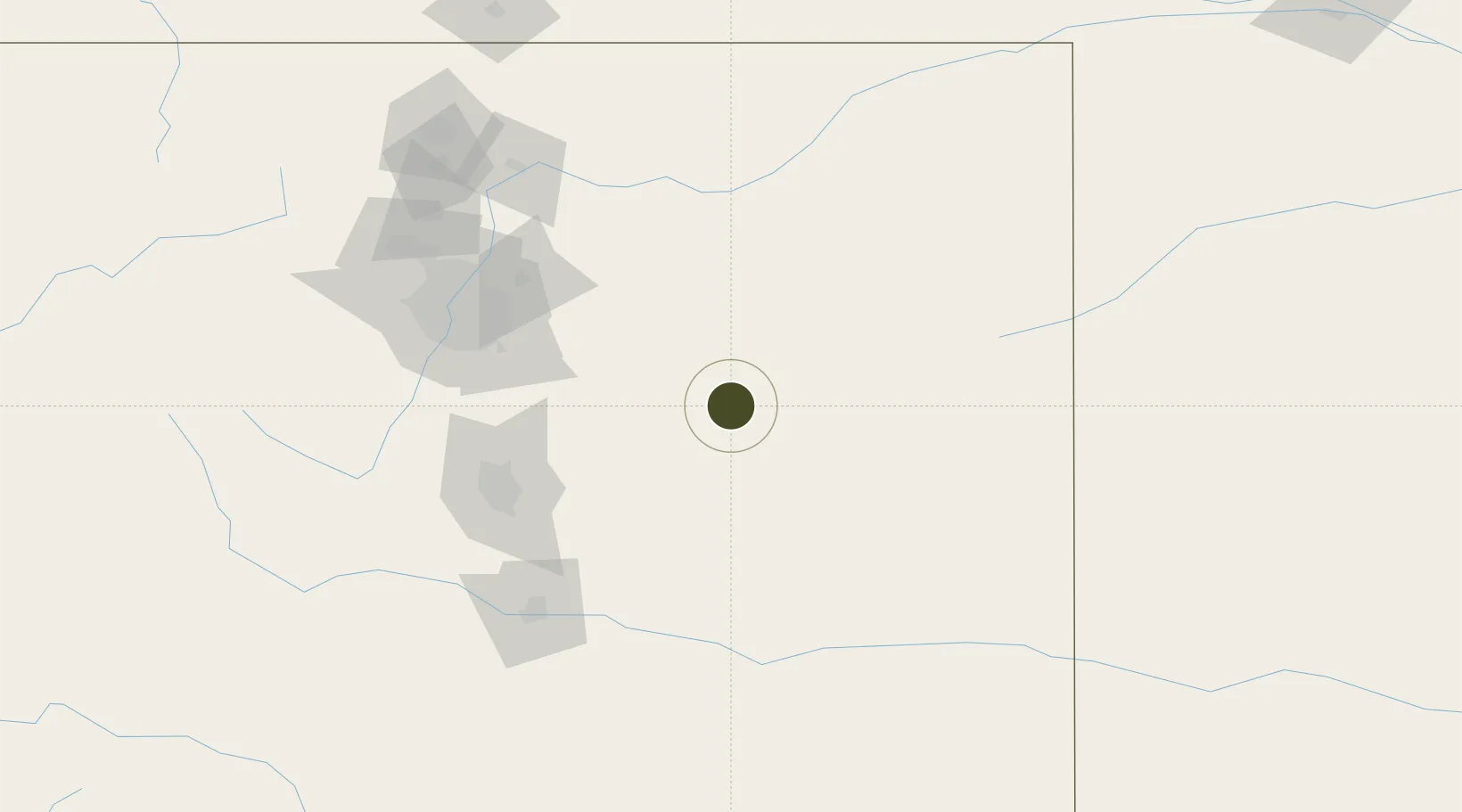
39.2609°, -103.6879°
2,000 ha
Zone area
1,256.0 km
Nearest port
101.1 km
Nearest airport

Gateway access

Nearest neighbours — logibook spatial index (haversine) over the source coordinates

Zone profile

Zone type
Foreign Trade Zone
Open Zone Map
Region
Colorado
Open Zone Map
Status
Active
Open Zone Map
Management
Public
Open Zone Map
Operator
Lincoln County Economic Development
Open Zone Map
Legal framework
Foreign-Trade Zones Act
Open Zone Map

Location

Location of ozm-4727
Natural Earth 10m (public domain) · Colorado · ozm-4727 · 39.26, -103.69GoogleOSMYandex

Nearby Logistics Neighbours

Ports
  1. 1Superior1256 km
  2. 2Duluth1256 km
  3. 3Deer Park1304 km
  4. 4Houston1307 km
  5. 5Pasadena1314 km
Nearest neighbours — logibook spatial index (haversine) over the source coordinates
Airports
  1. 1City of Colorado Springs Municipal Airport101 km
  2. 2Buckley Space Force Base104 km
  3. 3Centennial Airport106 km
  4. 4Denver International Airport108 km
  5. 5Butts AAF (Fort Carson) Air Field113 km
Nearest neighbours — logibook spatial index (haversine) over the source coordinates
Cities
  1. 1Calhan59 km
  2. 2Elbert73 km
  3. 3Peyton74 km
  4. 4Parker96 km
  5. 5Castle Rock101 km
Nearest neighbours — logibook spatial index (haversine) over the source coordinates
Trade Zones
  1. 1FTZ No. 112 Colorado Springs109 km
  2. 2FTZ No. 123 Denver124 km
  3. 3FTZ No. 298 Jefferson County137 km
  4. 4FTZ No. 252 Amarillo479 km
  5. 5FTZ No. 110 Albuquerque541 km
Nearest neighbours — logibook spatial index (haversine) over the source coordinates
DatabookThe Record of Consolidated Knowledge
United States beyond logistics?
Browse databook

All Sources

Trade ZonesOpen Zone Map
CC BY
Portsthe NGA World Port Index
Public domain (US gov)
AirportsOurAirports
Public domain
LocationsUN/LOCODE
UN/LOCODE — free
← United States trade zones