Foreign Trade Zone · United States

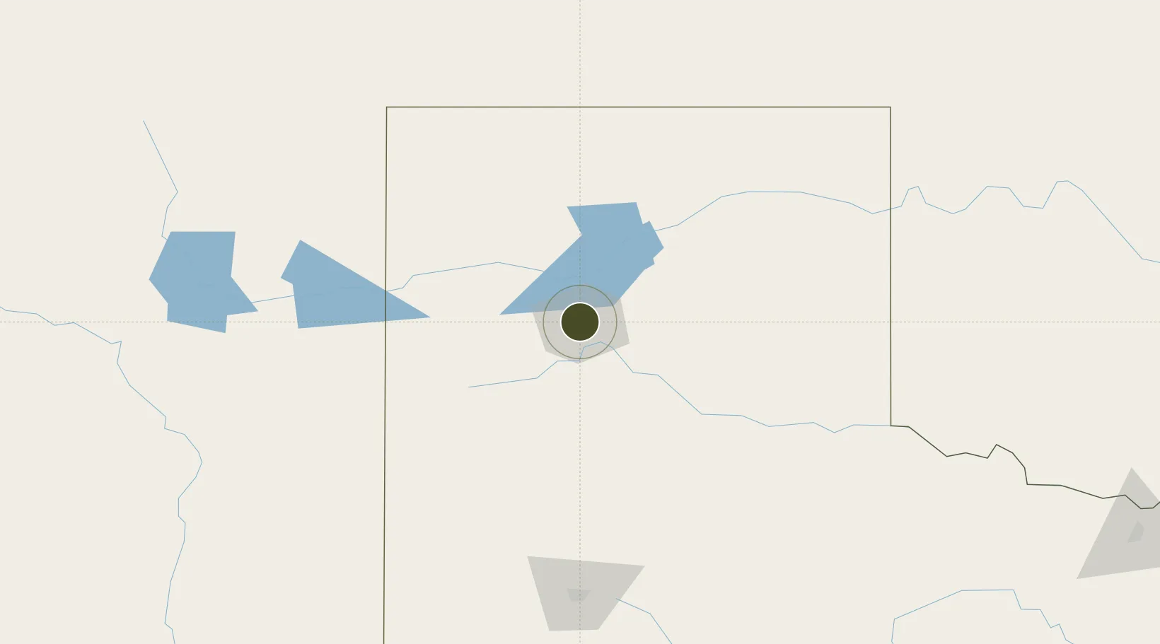
FTZ No. 252 Amarillo Active

35.2019°, -101.8750°
862.2 km
Nearest port
15.4 km
Nearest airport

Gateway access

Nearest neighbours — logibook spatial index (haversine) over the source coordinates

Zone profile

Zone type
Foreign Trade Zone
Open Zone Map
Region
Texas
Open Zone Map
Status
Active
Open Zone Map
Management
Public
Open Zone Map
Operator
City of Amarillo
Open Zone Map
Legal framework
Foreign-Trade Zones Act
Open Zone Map

Location

Location of ozm-4870
Natural Earth 10m (public domain) · Texas · ozm-4870 · 35.20, -101.87GoogleOSMYandex

Nearby Logistics Neighbours

Ports
  1. 1Deer Park862 km
  2. 2Houston866 km
  3. 3Pasadena873 km
  4. 4Port Lavaca884 km
  5. 5Baytown885 km
Nearest neighbours — logibook spatial index (haversine) over the source coordinates
Airports
  1. 1Rick Husband Amarillo International Airport15 km
  2. 2Dalhart Municipal Airport110 km
  3. 3Clovis Municipal Airport140 km
  4. 4Tucumcari Municipal Airport157 km
  5. 5Cannon Air Force Base161 km
Nearest neighbours — logibook spatial index (haversine) over the source coordinates
Cities
  1. 1Zita10 km
  2. 2Haney13 km
  3. 3Canyon26 km
  4. 4Panhandle, Carson48 km
  5. 5Borger68 km
Nearest neighbours — logibook spatial index (haversine) over the source coordinates
Trade Zones
  1. 1FTZ No. 260 Lubbock180 km
  2. 2FTZ No. 261 Alexandria180 km
  3. 3FTZ No. 165 Midland354 km
  4. 4FTZ No. 166 Homestead354 km
  5. 5FTZ No. 106 Oklahoma City396 km
Nearest neighbours — logibook spatial index (haversine) over the source coordinates
DatabookThe Record of Consolidated Knowledge
United States beyond logistics?
Browse databook

All Sources

Trade ZonesOpen Zone Map
CC BY
Portsthe NGA World Port Index
Public domain (US gov)
AirportsOurAirports
Public domain
LocationsUN/LOCODE
UN/LOCODE — free
← United States trade zones