Foreign Trade Zone · United States
FTZ No. 222 Montgomery Active
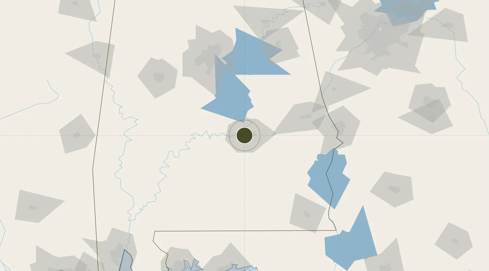
32.3737°, -86.3107°
235.7 km
Nearest port
5.3 km
Nearest airport
Gateway access
Zone profile
Zone type
Foreign Trade Zone
Region
Alabama
Status
Active
Management
Public-Private Partnership
Operator
Montgomery Area Chamber of Commerce
Legal framework
Foreign-Trade Zones Act
Location
Nearby Logistics Neighbours
Ports
- 1Pensacola236 km
- 2Mobile254 km
- 3Panama City257 km
- 4Port St Joe300 km
- 5Pascagoula311 km
Airports
Cities
- 1Hope Hull13 km
- 2Mount Meigs20 km
- 3Autaugaville33 km
- 4Letohatchee33 km
- 5Eclectic39 km
Trade Zones
- 1FTZ No. 098 Birmingham136 km
- 2FTZ No. 233 Dothan152 km
- 3FTZ No. 249 Pensacola234 km
- 4FTZ No. 026 Atlanta236 km
- 5FTZ No. 065 Panama City247 km
DatabookThe Record of Consolidated Knowledge
United States beyond logistics?