Foreign Trade Zone · United States
FTZ No. 233 Dothan Under Development
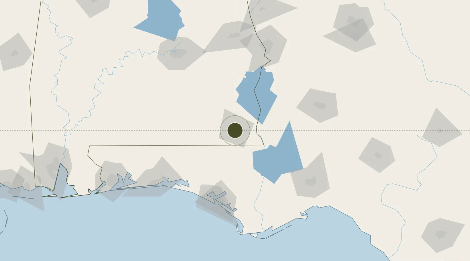
31.2279°, -85.4266°
123.6 km
Nearest port
10.6 km
Nearest airport
Gateway access
Zone profile
Zone type
Foreign Trade Zone
Region
Alabama
Status
Under Development
Management
Public-Private Partnership
Operator
Dothan-Houston County Foreign-Trade Zone, Inc.
Legal framework
Foreign-Trade Zones Act
Location
Nearby Logistics Neighbours
Ports
- 1Panama City124 km
- 2Port St Joe157 km
- 3Carrabelle170 km
- 4Apalachicola173 km
- 5Pensacola194 km
Airports
Cities
- 1Ashford18 km
- 2Daleville29 km
- 3Hartford30 km
- 4Fort Rucker30 km
- 5Campbellton31 km
Trade Zones
- 1FTZ No. 065 Panama City118 km
- 2FTZ No. 222 Montgomery152 km
- 3FTZ No. 249 Pensacola196 km
- 4FTZ No. 082 Mobile261 km
- 5FTZ No. 098 Birmingham286 km
DatabookThe Record of Consolidated Knowledge
United States beyond logistics?