Transport Functions
Road
Multimodal
Hub Profile
Place type
Populated place
Region
Alabama
Time zone
America/Chicago
Elevation
63 m
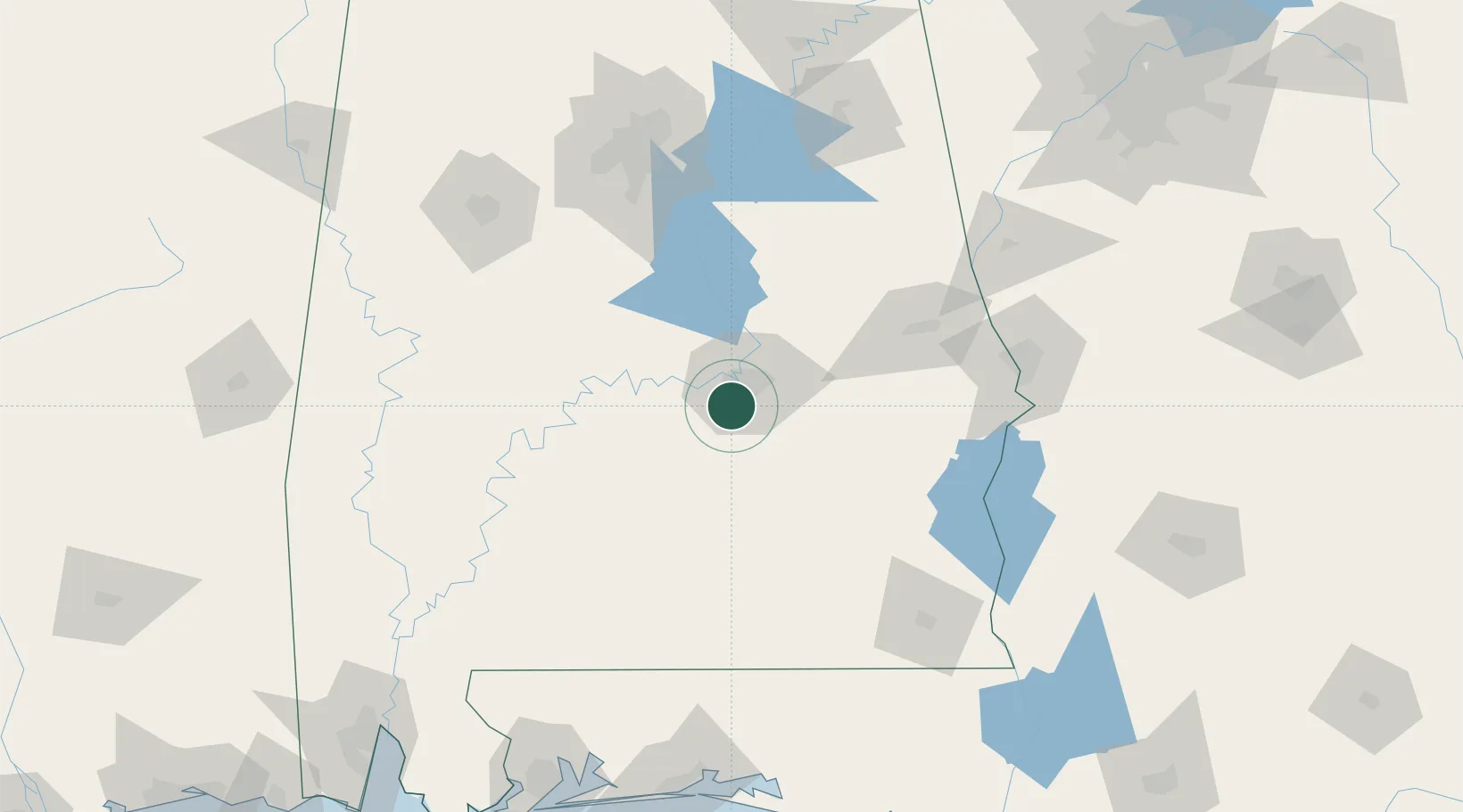
Location
Nearby Logistics Neighbours
Cities
- 1Letohatchee21 km
- 2Mount Meigs25 km
- 3Autaugaville34 km
- 4Eclectic51 km
- 5Tallassee, Elmore53 km
Ports
- 1Pensacola223 km
- 2Mobile243 km
- 3Panama City246 km
- 4Port St Joe290 km
- 5Pascagoula300 km
Airports
Trade Zones
- 1FTZ No. 222 Montgomery13 km
- 2FTZ No. 233 Dothan145 km
- 3FTZ No. 098 Birmingham146 km
- 4FTZ No. 249 Pensacola221 km
- 5FTZ No. 065 Panama City237 km
DatabookThe Record of Consolidated Knowledge
United States beyond logistics?