Transport Functions
Rail
Road
Multimodal
Hub Profile
Place type
Populated place
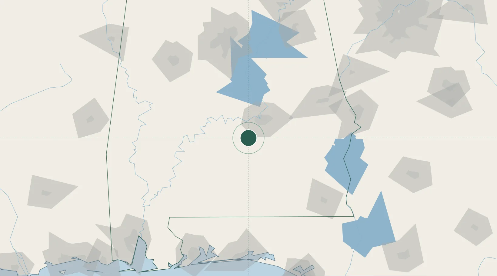
Region
Alabama
Time zone
America/Chicago
Elevation
98 m
Location
Nearby Logistics Neighbours
Cities
- 1Hope Hull21 km
- 2Autaugaville39 km
- 3Mount Meigs44 km
- 4Pine Apple55 km
- 5Georgiana59 km
Ports
- 1Pensacola203 km
- 2Mobile222 km
- 3Panama City234 km
- 4Port St Joe279 km
- 5Pascagoula279 km
Airports
Trade Zones
- 1FTZ No. 222 Montgomery33 km
- 2FTZ No. 233 Dothan141 km
- 3FTZ No. 098 Birmingham159 km
- 4FTZ No. 249 Pensacola201 km
- 5FTZ No. 082 Mobile220 km
DatabookThe Record of Consolidated Knowledge
United States beyond logistics?