Foreign Trade Zone · United States

FTZ No. 098 Birmingham Active
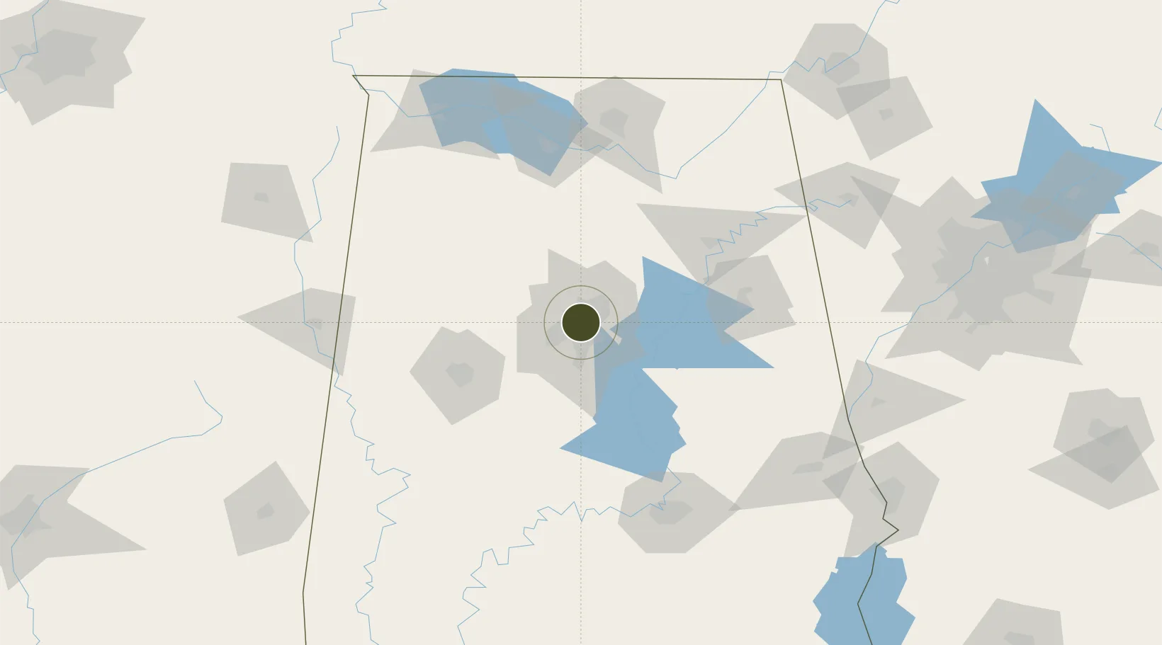
33.5201°, -86.8112°
338.5 km
Nearest port
7.4 km
Nearest airport

Gateway access

Nearest neighbours — logibook spatial index (haversine) over the source coordinates

Zone profile

Zone type
Foreign Trade Zone
Open Zone Map
Region
Alabama
Open Zone Map
Status
Active
Open Zone Map
Management
Public
Open Zone Map
Operator
City of Birmingham Office of Economic Development
Open Zone Map
Legal framework
Foreign-Trade Zones Act
Open Zone Map

Location

Location of ozm-4843
Natural Earth 10m (public domain) · Alabama · ozm-4843 · 33.52, -86.81GoogleOSMYandex

Nearby Logistics Neighbours

Ports
  1. 1Mobile339 km
  2. 2Pensacola349 km
  3. 3Port Of Memphis353 km
  4. 4Pascagoula390 km
  5. 5Panama City392 km
Nearest neighbours — logibook spatial index (haversine) over the source coordinates
Airports
  1. 1Birmingham-Shuttlesworth International Airport7 km
  2. 2Shelby County Airport38 km
  3. 3Tuscaloosa National Airport81 km
  4. 4Anniston Regional Airport89 km
  5. 5Huntsville International Airport124 km
Nearest neighbours — logibook spatial index (haversine) over the source coordinates
Cities
  1. 1Homewood7 km
  2. 2Irondale10 km
  3. 3Fultondale11 km
  4. 4Bessemer19 km
  5. 5Pelham21 km
Nearest neighbours — logibook spatial index (haversine) over the source coordinates
Trade Zones
  1. 1FTZ No. 270 Lawrence County125 km
  2. 2FTZ No. 083 Huntsville125 km
  3. 3FTZ No. 265 Conroe (Montgomery County)128 km
  4. 4FTZ No. 222 Montgomery136 km
  5. 5FTZ No. 134 Chattanooga219 km
Nearest neighbours — logibook spatial index (haversine) over the source coordinates
DatabookThe Record of Consolidated Knowledge
United States beyond logistics?
Browse databook

All Sources

Trade ZonesOpen Zone Map
CC BY
Portsthe NGA World Port Index
Public domain (US gov)
AirportsOurAirports
Public domain
LocationsUN/LOCODE
UN/LOCODE — free
← United States trade zones