Medium airport · United States
Montgomery Regional (Dannelly Field) AirportKMGM
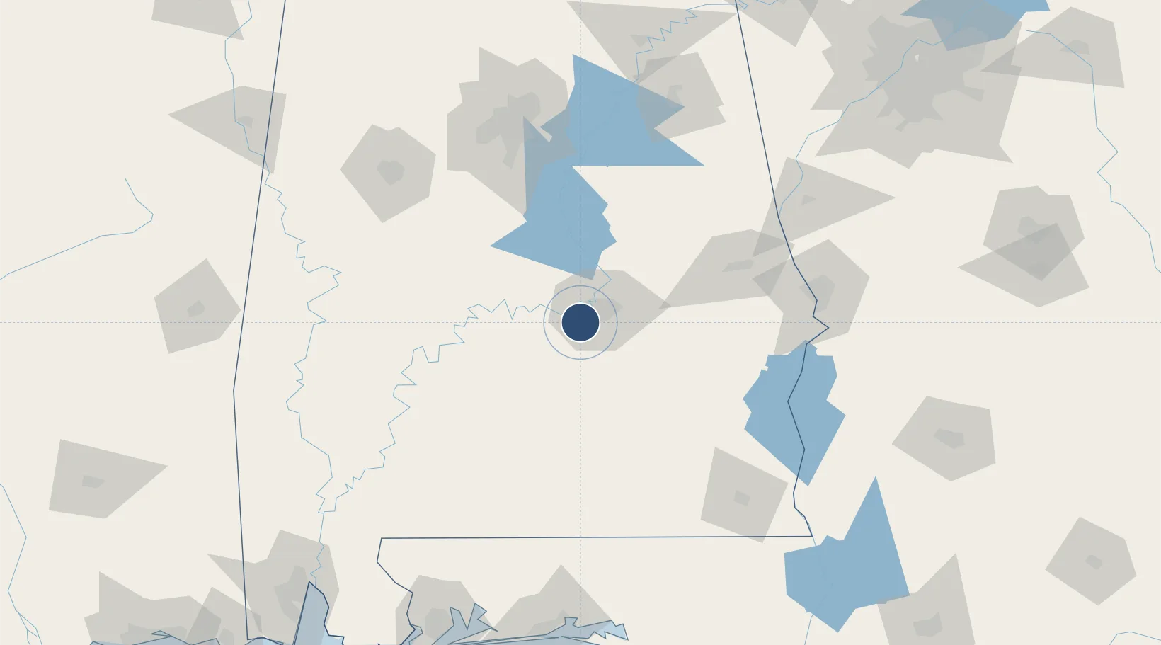
32.3006°, -86.3940°
9,020 ft
Longest runway
2
Runways
221 ft
Elevation
Runway & Layout

Radio Frequencies
ATIS
120.675 MHz
TWR
119.7 MHz
GND
121.7 MHz
CLD
118.3 MHz
CLNC DEL
CTAF
119.7 MHz
A/D
118.85 MHz
APP/DEP
MISC
38.2 MHz
ARNG OPS
OPS
27.68 MHz
ANG OPS
RDO
122.2 MHz
ANNISTON RDO
SFA
122.85 MHz
UNIC
122.95 MHz
UNICOM
Navaids
MG NDB Marra 245 kHz
Runways · 2
| Runway | Dimensions | Surface | True heading | Lit |
|---|---|---|---|---|
| 10/28 | 9,020 × 150ft | Asphalt | 096° | ✓ |
| 03/21 | 4,011 × 150ft | Asphalt | 033° | ✓ |
Airport Specifications
IATA code
MGM
ICAO code
KMGM
Airport class
Medium airport
Scheduled service
Yes
Runway surface
Asphalt
Served city
Montgomery
Location
Nearby Logistics Neighbours
Airports
Cities
- 1Hope Hull6 km
- 2Letohatchee22 km
- 3Mount Meigs28 km
- 4Autaugaville28 km
- 5Eclectic50 km
Ports
- 1Pensacola225 km
- 2Mobile243 km
- 3Panama City251 km
- 4Port St Joe295 km
- 5Pascagoula299 km
Trade Zones
- 1FTZ No. 222 Montgomery11 km
- 2FTZ No. 098 Birmingham141 km
- 3FTZ No. 233 Dothan150 km
- 4FTZ No. 249 Pensacola223 km
- 5FTZ No. 082 Mobile241 km
DatabookThe Record of Consolidated Knowledge
United States beyond logistics?