Medium airport · United States

South Alabama Regional At Bill Benton Field AirportK79J
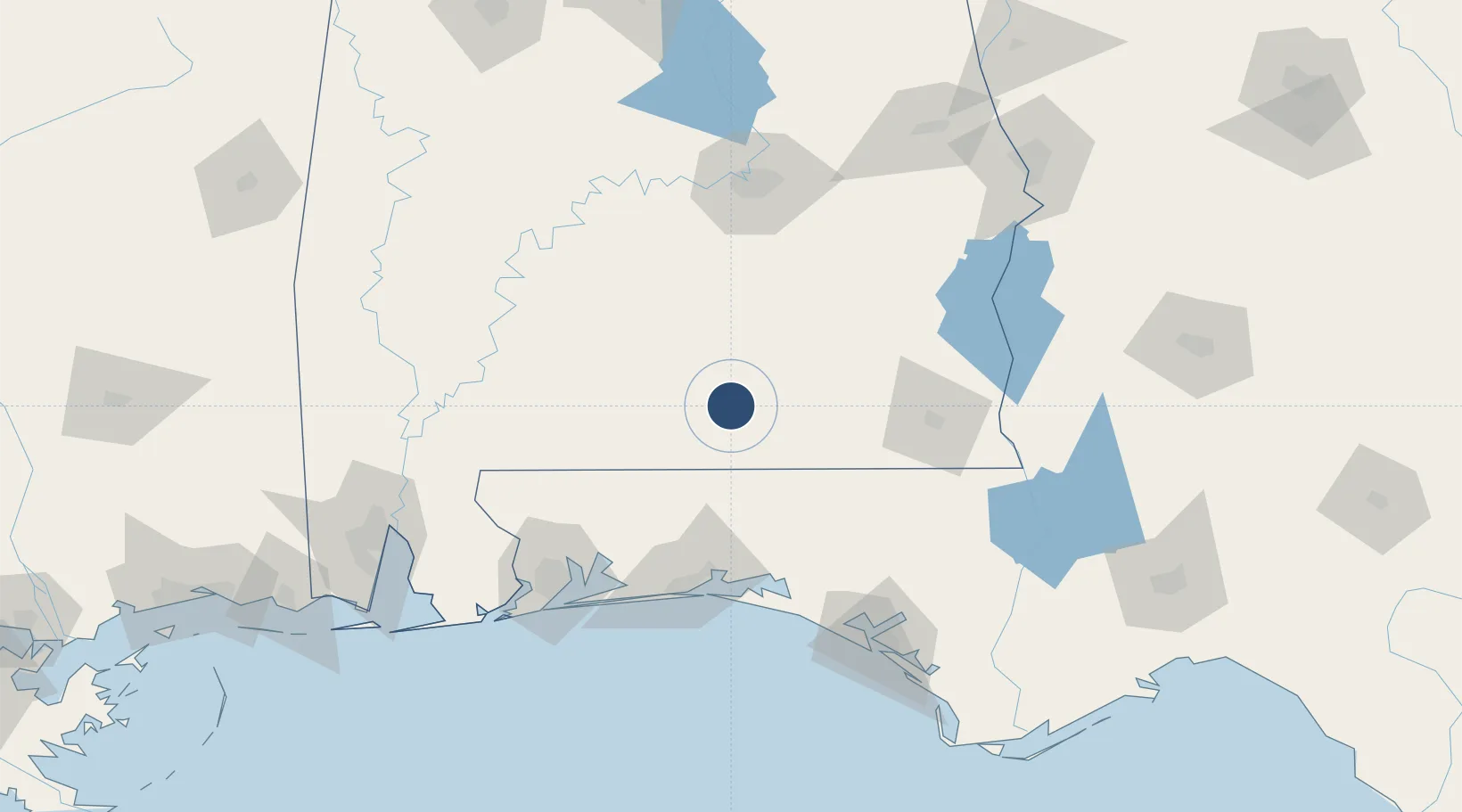
31.3088°, -86.3938°
6,000 ft
Longest runway
1
Runways
310 ft
Elevation

Runway & Layout

South Alabama Regional At Bill Benton Field Airport runway & taxiway layout
Runway & taxiway layout — OpenStreetMap (ODbL) / OurAirports

Radio Frequencies

ASOS
134.875 MHz
TWR
119.55 MHz
GND
121.9 MHz
CTAF
119.55 MHz
A/D
133.45 MHz
CAIRNS APP/DEP
UNIC
122.8 MHz
UNICOM
OurAirports

Runways · 1

RunwayDimensions SurfaceTrue headingLit
11/29 6,000 × 100ft Asphalt 107°
OurAirports

Airport Specifications

ICAO code
K79J
OurAirports
Airport class
Medium airport
OurAirports
Scheduled service
No
OurAirports
Runway surface
Asphalt
OurAirports
Served city
Andalusia/Opp
OurAirports

Location

Location of K79J
Natural Earth 10m (public domain) · Alabama · K79J · 31.31, -86.39GoogleOSMYandex

Nearby Logistics Neighbours

Airports
  1. 1Bob Sikes Airport60 km
  2. 2Cairns AAF (Fort Rucker) Air Field65 km
  3. 3Troy Municipal Airport at N Kenneth Campbell Field71 km
  4. 4Duke Field74 km
  5. 5Whiting Field Naval Air Station - North88 km
Nearest neighbours — logibook spatial index (haversine) over the source coordinates
Cities
  1. 1Kinston25 km
  2. 2Brantley32 km
  3. 3McKenzie38 km
  4. 4New Brockton46 km
  5. 5Georgiana49 km
Nearest neighbours — logibook spatial index (haversine) over the source coordinates
Ports
  1. 1Pensacola128 km
  2. 2Panama City149 km
  3. 3Mobile178 km
  4. 4Port St Joe195 km
  5. 5Apalachicola223 km
Nearest neighbours — logibook spatial index (haversine) over the source coordinates
Trade Zones
  1. 1FTZ No. 233 Dothan92 km
  2. 2FTZ No. 222 Montgomery119 km
  3. 3FTZ No. 249 Pensacola128 km
  4. 4FTZ No. 065 Panama City138 km
  5. 5FTZ No. 082 Mobile176 km
Nearest neighbours — logibook spatial index (haversine) over the source coordinates
DatabookThe Record of Consolidated Knowledge
United States beyond logistics?
Browse databook

All Sources

AirportsOurAirports
Public domain
Portsthe NGA World Port Index
Public domain (US gov)
LocationsUN/LOCODE
UN/LOCODE — free
Trade Zonesthe World Bank SEZ database
CC BY 4.0
Trade ZonesOpen Zone Map
CC BY
InfrastructureOpenStreetMap
ODbL 1.0
← United States airports