Transport Functions
Rail
Road
Multimodal
Hub Profile
Place type
Populated place
Region
Alabama
Time zone
America/Chicago
Elevation
78 m
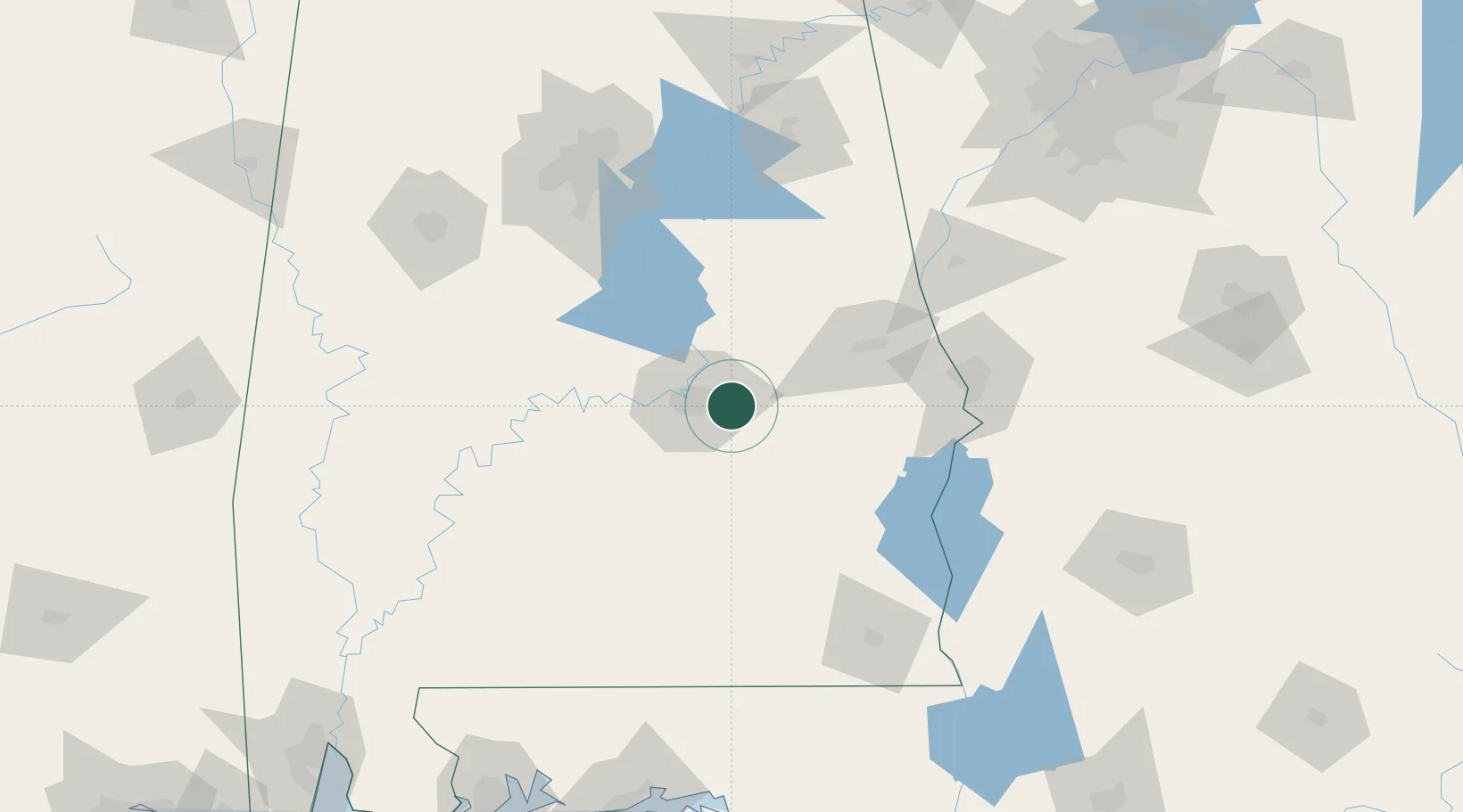
Location
Nearby Logistics Neighbours
Cities
- 1Hope Hull25 km
- 2Tallassee, Elmore29 km
- 3Eclectic32 km
- 4Letohatchee44 km
- 5Autaugaville53 km
Ports
- 1Pensacola241 km
- 2Panama City250 km
- 3Mobile266 km
- 4Port St Joe291 km
- 5Carrabelle310 km
Airports
Trade Zones
- 1FTZ No. 222 Montgomery20 km
- 2FTZ No. 233 Dothan140 km
- 3FTZ No. 098 Birmingham146 km
- 4FTZ No. 026 Atlanta224 km
- 5FTZ No. 249 Pensacola240 km
DatabookThe Record of Consolidated Knowledge
United States beyond logistics?