Seaport · United States
Panama CityUSPFN
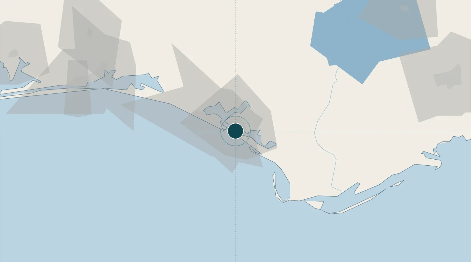
30.1333°, -85.6500°
9.4 m
Channel depth
7.8
Port liner connectivity
Channel & Berth Profile
Pilotage, Tugs & Services
Pilotage compulsoryYES
Pilotage advisableYES
Tug assistanceYES
Salvage tugsYES
Shore powerYES
Potable waterYES
Diesel bunkersYES
MedicalYES
Garbage disposalYES
Facilities & Capabilities
Container—
Ro-Ro—
Liquid bulk—
Dry bulk—
Oil terminal—
Break bulk—
Dry dock—
RepairsNO
BunkeringNO
Rail linkYES
Dangerous cargo—
ISPS security—
Harbour Specifications
Harbour size
Small
Harbour type
Coastal (Natural)
Water body
Gulf of Mexico; North Atlantic Ocean
Tidal range
0.3 m
Overhead limit
Yes
Pilotage
Yes
Liner Connectivity
7.8
PLSCI
Port Liner Shipping Connectivity Index for Panama City, as published by UNCTAD for the latest available quarter. Higher values indicate stronger scheduled liner-shipping integration.
Shown relative to the highest per-port PLSCI in the dataset (1,657.9).
Location
Nearby Logistics Neighbours
Ports
- 1Port St Joe48 km
- 2Apalachicola79 km
- 3Carrabelle100 km
- 4Pensacola153 km
- 5Mobile244 km
Cities
- 1Callaway8 km
- 2Lynn Haven11 km
- 3Mexico Beach32 km
- 4Port Saint Joe50 km
- 5Freeport61 km
Airports
Trade Zones
- 1FTZ No. 065 Panama City12 km
- 2FTZ No. 233 Dothan124 km
- 3FTZ No. 249 Pensacola159 km
- 4FTZ No. 082 Mobile242 km
- 5FTZ No. 222 Montgomery257 km
DatabookThe Record of Consolidated Knowledge
United States beyond logistics?