UN/LOCODE hub · United States
USAGV
Autaugaville
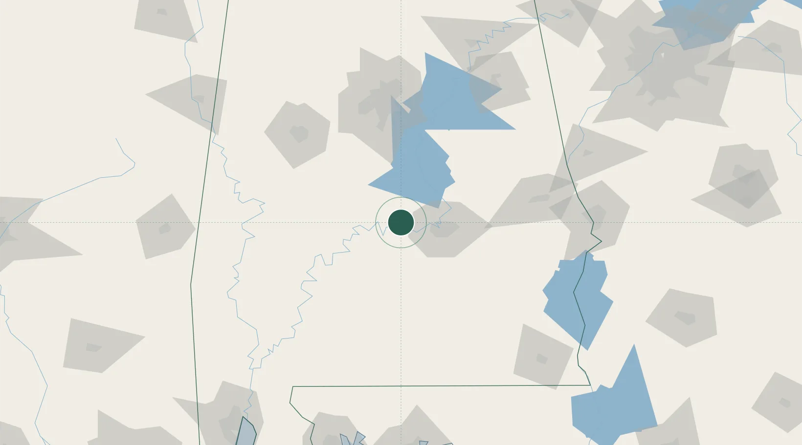
32.4333°, -86.6500°
859
Population
2
Transport functions
Transport Functions
Port
Road
Hub Profile
Place type
Populated place
Region
Alabama
Population
859
Time zone
America/Chicago
Elevation
49 m
Location
Nearby Logistics Neighbours
Cities
- 1Hope Hull34 km
- 2Letohatchee39 km
- 3Maplesville44 km
- 4Clanton45 km
- 5Clayton45 km
Ports
- 1Pensacola232 km
- 2Mobile239 km
- 3Panama City273 km
- 4Pascagoula295 km
- 5Biloxi311 km
Airports
Trade Zones
- 1FTZ No. 222 Montgomery33 km
- 2FTZ No. 098 Birmingham122 km
- 3FTZ No. 233 Dothan177 km
- 4FTZ No. 249 Pensacola230 km
- 5FTZ No. 082 Mobile237 km
DatabookThe Record of Consolidated Knowledge
United States beyond logistics?