Medium airport · United States

Troy Municipal Airport at N Kenneth Campbell FieldKTOI
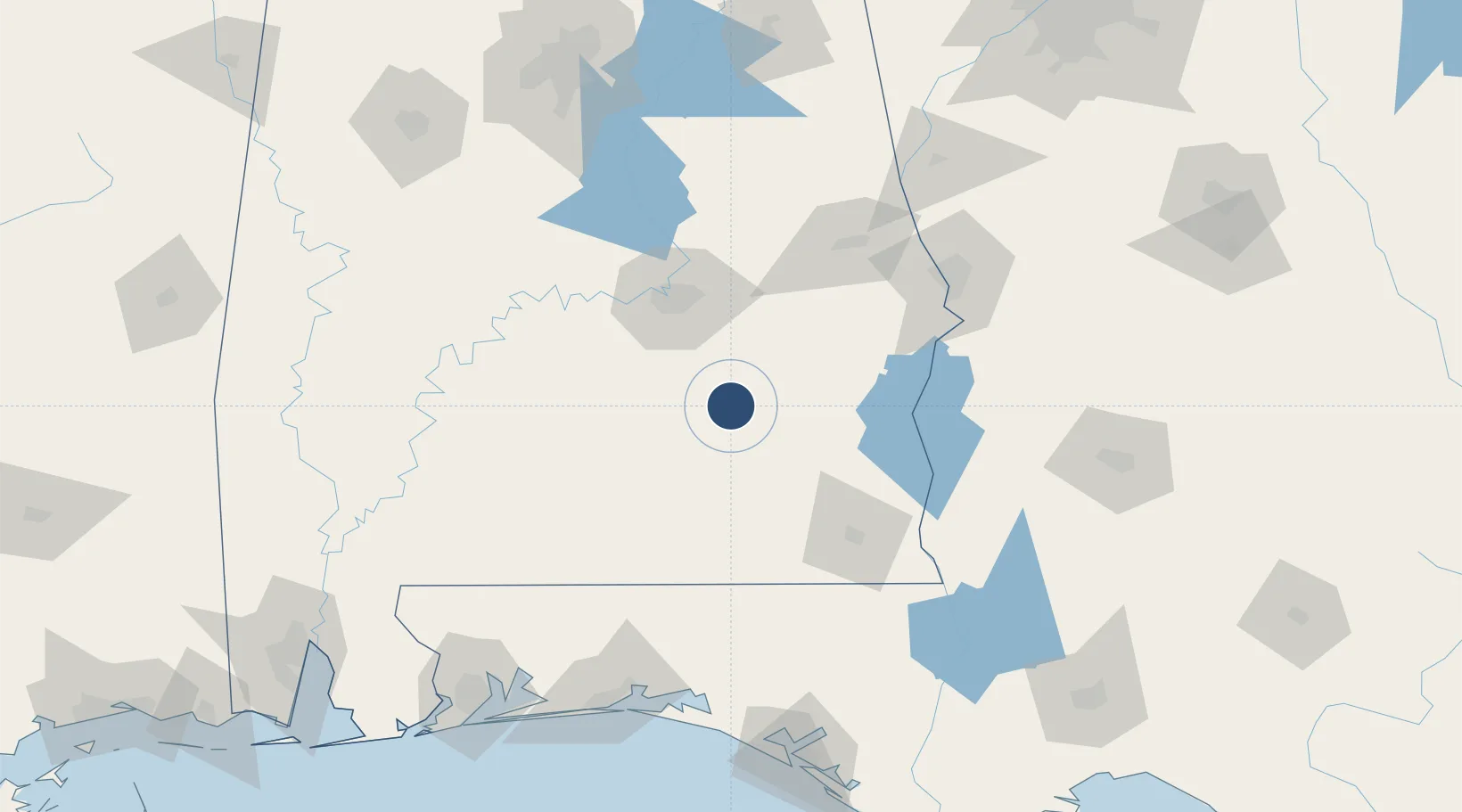
31.8604°, -86.0121°
6,197 ft
Longest runway
2
Runways
398 ft
Elevation

Runway & Layout

Troy Municipal Airport at N Kenneth Campbell Field runway & taxiway layout
Runway & taxiway layout — OpenStreetMap (ODbL) / OurAirports

Radio Frequencies

ATIS
120.925 MHz
TWR
124.3 MHz
GND
121.9 MHz
A/D
121.1 MHz
CAIRNS APP/DEP
UNIC
122.8 MHz
CTAF/UNICOM
OurAirports

Runways · 2

RunwayDimensions SurfaceTrue headingLit
07/25 6,197 × 100ft Asphalt 069°
14/32 5,024 × 100ft Asphalt 143°
OurAirports

Airport Specifications

IATA code
TOI
OurAirports
ICAO code
KTOI
OurAirports
Airport class
Medium airport
OurAirports
Scheduled service
No
OurAirports
Runway surface
Asphalt
OurAirports
Served city
Troy
OurAirports

Location

Location of KTOI
Natural Earth 10m (public domain) · Alabama · KTOI · 31.86, -86.01GoogleOSMYandex

Nearby Logistics Neighbours

Airports
  1. 1Montgomery Regional (Dannelly Field) Airport61 km
  2. 2Maxwell Air Force Base67 km
  3. 3Cairns AAF (Fort Rucker) Air Field71 km
  4. 4South Alabama Regional At Bill Benton Field Airport71 km
  5. 5Dothan Regional Airport80 km
Nearest neighbours — logibook spatial index (haversine) over the source coordinates
Cities
  1. 1Brundidge24 km
  2. 2Brantley40 km
  3. 3Ariton40 km
  4. 4Letohatchee53 km
  5. 5New Brockton54 km
Nearest neighbours — logibook spatial index (haversine) over the source coordinates
Ports
  1. 1Panama City195 km
  2. 2Pensacola199 km
  3. 3Port St Joe237 km
  4. 4Mobile239 km
  5. 5Carrabelle258 km
Nearest neighbours — logibook spatial index (haversine) over the source coordinates
Trade Zones
  1. 1FTZ No. 222 Montgomery64 km
  2. 2FTZ No. 233 Dothan90 km
  3. 3FTZ No. 065 Panama City186 km
  4. 4FTZ No. 249 Pensacola198 km
  5. 5FTZ No. 098 Birmingham199 km
Nearest neighbours — logibook spatial index (haversine) over the source coordinates
DatabookThe Record of Consolidated Knowledge
United States beyond logistics?
Browse databook

All Sources

AirportsOurAirports
Public domain
Portsthe NGA World Port Index
Public domain (US gov)
LocationsUN/LOCODE
UN/LOCODE — free
Trade Zonesthe World Bank SEZ database
CC BY 4.0
Trade ZonesOpen Zone Map
CC BY
InfrastructureOpenStreetMap
ODbL 1.0
← United States airports