Medium airport · United States
Shelby County AirportKEET
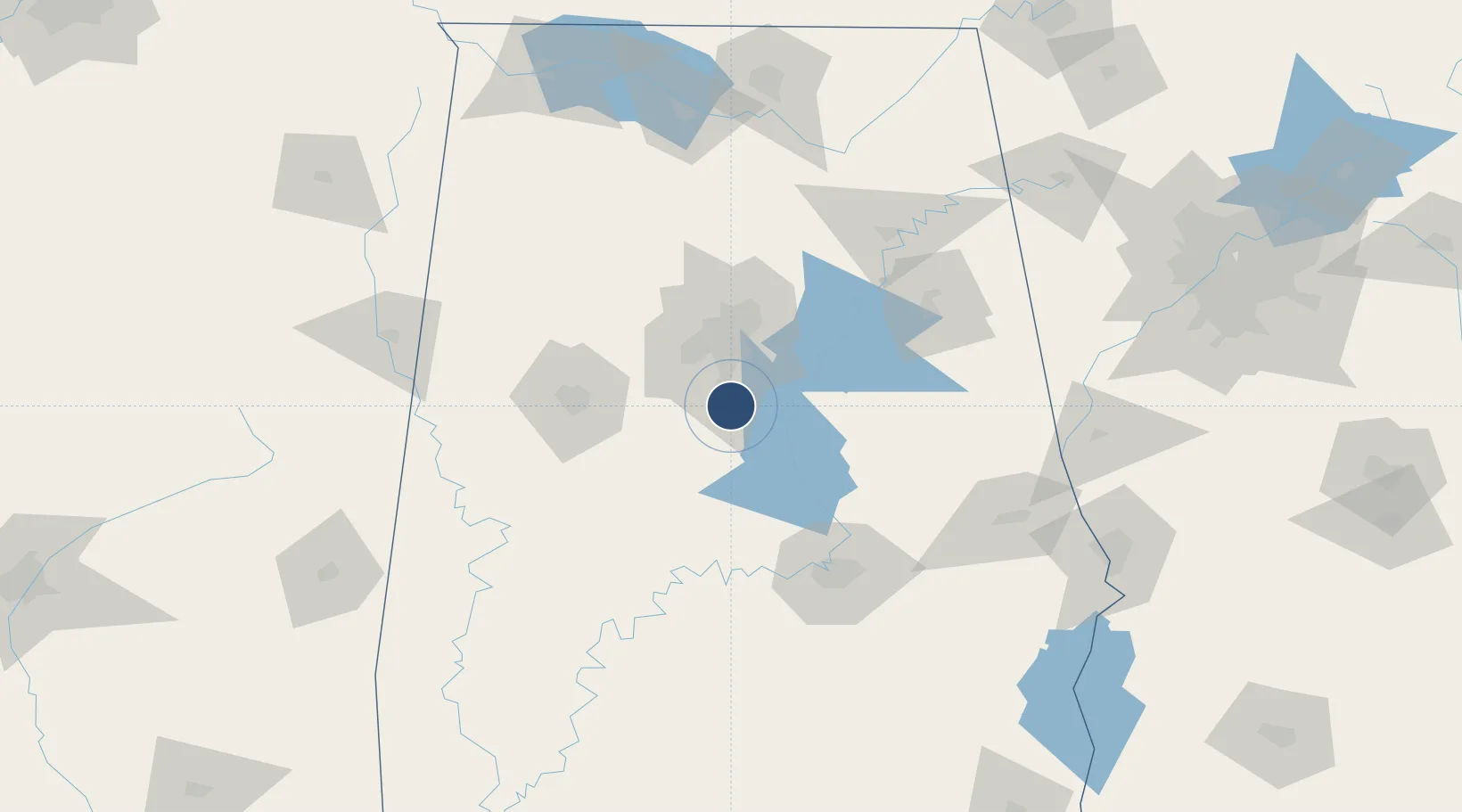
33.1770°, -86.7828°
5,000 ft
Longest runway
1
Runways
586 ft
Elevation
Runway & Layout

Radio Frequencies
ASOS
134.325 MHz
A/D
123.8 MHz
BIRMINGHAM APP/DEP
UNIC
122.7 MHz
CTAF/UNICOM
Runways · 1
| Runway | Dimensions | Surface | True heading | Lit |
|---|---|---|---|---|
| 16/34 | 5,000 × 75ft | Asphalt | 157° | — |
Airport Specifications
ICAO code
KEET
Airport class
Medium airport
Scheduled service
No
Runway surface
Asphalt
Served city
Alabaster
Location
Nearby Logistics Neighbours
Airports
Ports
- 1Mobile305 km
- 2Pensacola312 km
- 3Panama City355 km
- 4Pascagoula357 km
- 5Biloxi369 km
Trade Zones
- 1FTZ No. 098 Birmingham38 km
- 2FTZ No. 222 Montgomery100 km
- 3FTZ No. 270 Lawrence County163 km
- 4FTZ No. 083 Huntsville163 km
- 5FTZ No. 265 Conroe (Montgomery County)166 km
DatabookThe Record of Consolidated Knowledge
United States beyond logistics?