Medium airport · United States
Maxwell Air Force BaseKMXF
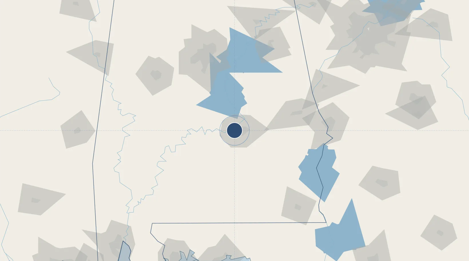
32.3829°, -86.3658°
8,008 ft
Longest runway
2
Runways
171 ft
Elevation
Runway & Layout

Radio Frequencies
ATIS
134.7 MHz
TWR
118.15 MHz
GND
127.15 MHz
A/D
121.2 MHz
MONTGOMERY APP/DEP
PMSV
34.23 MHz
PMSV METRO
POST
23.46 MHz
42 ABW COMD POST
POST
39.69 MHz
AFRC 908AW COMD POST
PTD
122.85 MHz
Navaids
MXF TACAN Maxwell 115.00 MHz
Runways · 2
| Runway | Dimensions | Surface | True heading | Lit |
|---|---|---|---|---|
| 15/33 | 8,008 × 150ft | Asphalt | 148° | ✓ |
| 009/189 | 3,015 × 60ft | ASPH | 007° | — |
Airport Specifications
IATA code
MXF
ICAO code
KMXF
Airport class
Medium airport
Scheduled service
No
Runway surface
Asphalt
Served city
Montgomery
Location
Nearby Logistics Neighbours
Airports
Cities
- 1Hope Hull13 km
- 2Mount Meigs25 km
- 3Autaugaville27 km
- 4Letohatchee32 km
- 5Eclectic42 km
Ports
- 1Pensacola235 km
- 2Mobile252 km
- 3Panama City259 km
- 4Port St Joe302 km
- 5Pascagoula308 km
Trade Zones
- 1FTZ No. 222 Montgomery5 km
- 2FTZ No. 098 Birmingham133 km
- 3FTZ No. 233 Dothan156 km
- 4FTZ No. 249 Pensacola233 km
- 5FTZ No. 026 Atlanta240 km
DatabookThe Record of Consolidated Knowledge
United States beyond logistics?