UN/LOCODE hub · United States
USEC2
Eclectic
32.6333°, -86.0333°
1,029
Population
2
Transport functions
Transport Functions
Road
Multimodal
Hub Profile
Place type
Populated place
Region
Alabama
Population
1,029
Time zone
America/Chicago
Elevation
176 m
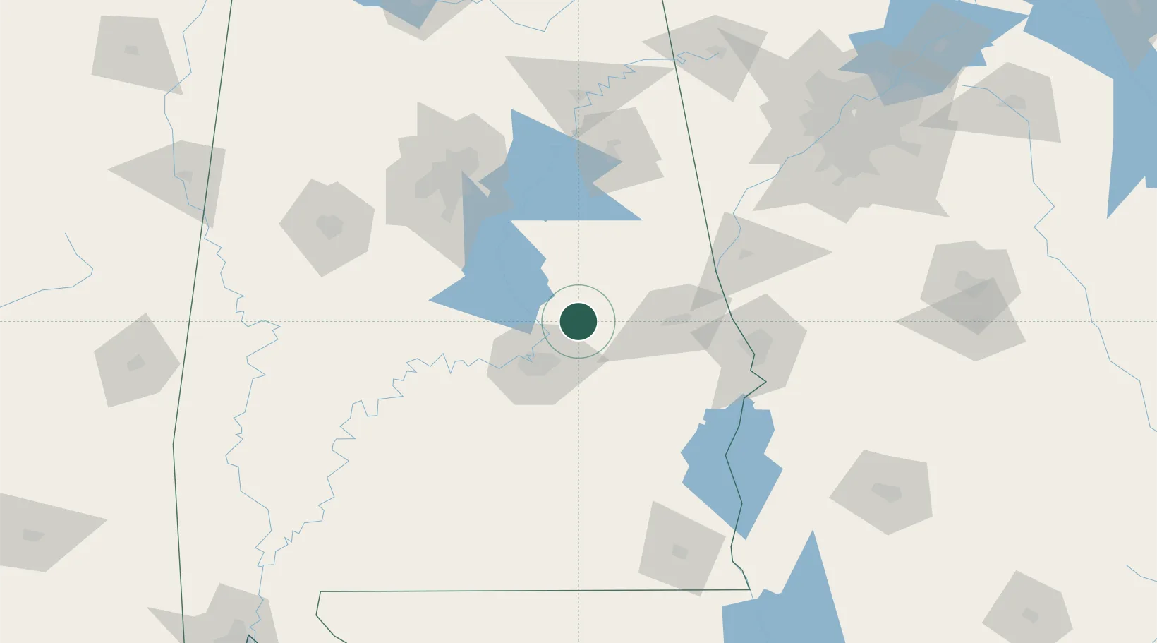
Location
Nearby Logistics Neighbours
Cities
- 1Tallassee, Elmore18 km
- 2Mount Meigs32 km
- 3Rockford33 km
- 4Dadeville33 km
- 5Camp Hill40 km
Ports
- 1Pensacola273 km
- 2Panama City280 km
- 3Mobile293 km
- 4Port St Joe321 km
- 5Carrabelle336 km
Airports
Trade Zones
- 1FTZ No. 222 Montgomery39 km
- 2FTZ No. 098 Birmingham122 km
- 3FTZ No. 233 Dothan166 km
- 4FTZ No. 026 Atlanta198 km
- 5FTZ No. 083 Huntsville234 km
DatabookThe Record of Consolidated Knowledge
United States beyond logistics?