Channel & Berth Profile
Pilotage, Tugs & Services
Pilotage compulsoryYES
Pilotage advisableYES
Tug assistanceYES
Salvage tugsNO
Shore powerYES
Potable waterYES
Diesel bunkersYES
MedicalYES
Facilities & Capabilities
Container—
Ro-Ro—
Liquid bulk—
Dry bulk—
Oil terminal—
Break bulk—
Dry dock—
Repairs—
BunkeringYES
Rail linkYES
Dangerous cargo—
ISPS security—
Harbour Specifications
Harbour size
Small
Harbour type
Coastal (Natural)
Water body
Gulf of Mexico; North Atlantic Ocean
Tidal range
0.3 m
Pilotage
Yes
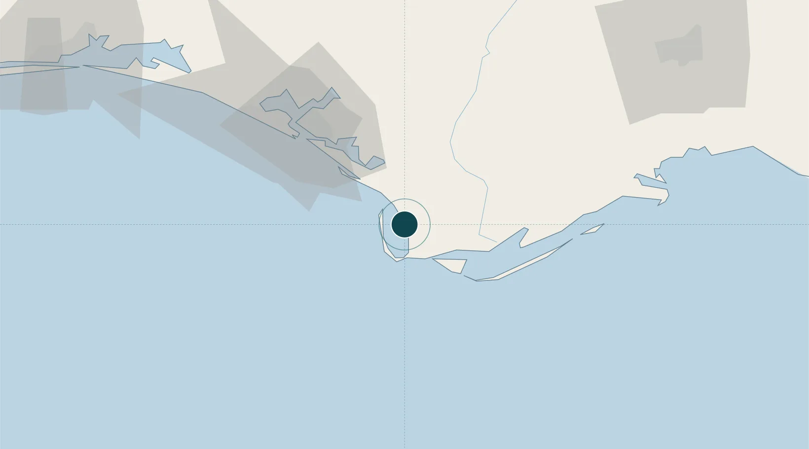
Location
Nearby Logistics Neighbours
Ports
- 1Apalachicola34 km
- 2Panama City48 km
- 3Carrabelle63 km
- 4Pensacola194 km
- 5Mobile286 km
Cities
- 1Mexico Beach16 km
- 2Callaway44 km
- 3Lynn Haven56 km
- 4Panama City57 km
- 5Telogia76 km
Airports
Trade Zones
- 1FTZ No. 065 Panama City60 km
- 2FTZ No. 233 Dothan157 km
- 3FTZ No. 249 Pensacola200 km
- 4FTZ No. 082 Mobile284 km
- 5FTZ No. 222 Montgomery300 km
DatabookThe Record of Consolidated Knowledge
United States beyond logistics?