Foreign Trade Zone · United States

FTZ No. 026 Atlanta Active
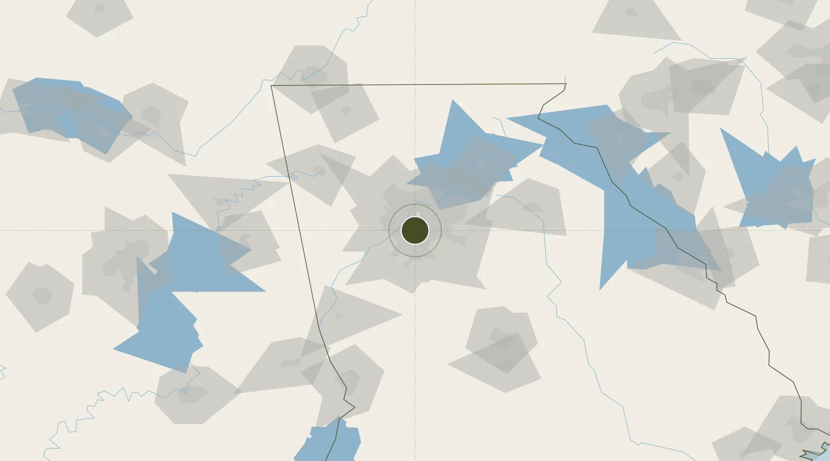
33.7619°, -84.3905°
360.7 km
Nearest port
12.2 km
Nearest airport

Gateway access

Nearest neighbours — logibook spatial index (haversine) over the source coordinates

Zone profile

Zone type
Foreign Trade Zone
Open Zone Map
Region
Georgia
Open Zone Map
Status
Active
Open Zone Map
Management
Public-Private Partnership
Open Zone Map
Operator
Georgia Foreign Trade Zone, Inc.
Open Zone Map
Legal framework
Foreign-Trade Zones Act
Open Zone Map

Location

Location of ozm-4949
Natural Earth 10m (public domain) · Georgia · ozm-4949 · 33.76, -84.39GoogleOSMYandex

Nearby Logistics Neighbours

Ports
  1. 1Savannah361 km
  2. 2Beaufort377 km
  3. 3Port Royal379 km
  4. 4Darien384 km
  5. 5Brunswick397 km
Nearest neighbours — logibook spatial index (haversine) over the source coordinates
Airports
  1. 1Fulton County Airport Brown Field12 km
  2. 2Hartsfield Jackson Atlanta International Airport14 km
  3. 3DeKalb Peachtree Airport15 km
  4. 4Dobbins Air Reserve Base21 km
  5. 5Cobb County International Airport-McCollum Field34 km
Nearest neighbours — logibook spatial index (haversine) over the source coordinates
Cities
  1. 1Sandy Springs17 km
  2. 2Ellenwood17 km
  3. 3Lake City19 km
  4. 4Dunwoody22 km
  5. 5Riverdale22 km
Nearest neighbours — logibook spatial index (haversine) over the source coordinates
Trade Zones
  1. 1FTZ No. 134 Chattanooga174 km
  2. 2FTZ No. 098 Birmingham226 km
  3. 3FTZ No. 038 Spartanburg County233 km
  4. 4FTZ No. 222 Montgomery236 km
  5. 5FTZ No. 083 Huntsville240 km
Nearest neighbours — logibook spatial index (haversine) over the source coordinates
DatabookThe Record of Consolidated Knowledge
United States beyond logistics?
Browse databook

All Sources

Trade ZonesOpen Zone Map
CC BY
Portsthe NGA World Port Index
Public domain (US gov)
AirportsOurAirports
Public domain
LocationsUN/LOCODE
UN/LOCODE — free
← United States trade zones