Foreign Trade Zone · United States

FTZ No. 219 Yuma Active

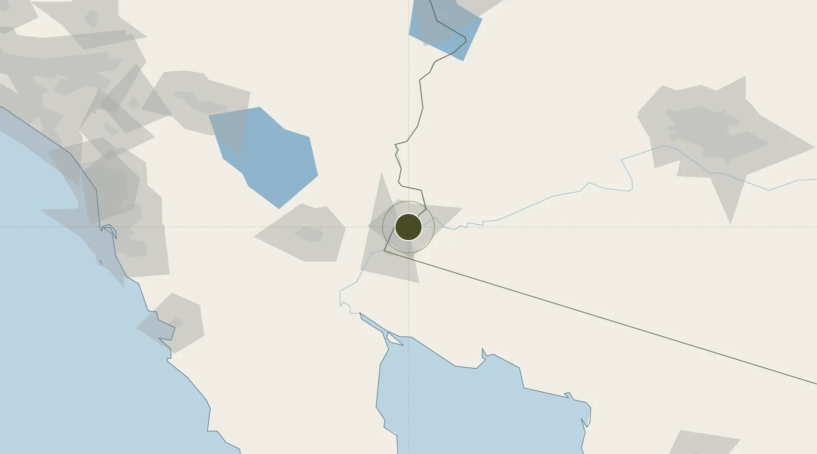
32.7043°, -114.6108°
211.7 km
Nearest port
5.9 km
Nearest airport

Gateway access

Nearest neighbours — logibook spatial index (haversine) over the source coordinates

Zone profile

Zone type
Foreign Trade Zone
Open Zone Map
Region
Arizona
Open Zone Map
Status
Active
Open Zone Map
Management
Public
Open Zone Map
Operator
Greater Yuma Economic Development Corporation
Open Zone Map
Legal framework
Foreign-Trade Zones Act
Open Zone Map

Location

Location of ozm-4831
Natural Earth 10m (public domain) · Arizona · ozm-4831 · 32.70, -114.61GoogleOSMYandex

Nearby Logistics Neighbours

Ports
  1. 1Ensenada212 km
  2. 2Rosarito236 km
  3. 3San Diego241 km
  4. 4Newport Beach323 km
  5. 5Long Beach353 km
Nearest neighbours — logibook spatial index (haversine) over the source coordinates
Airports
  1. 1Yuma International Airport / Marine Corps Air Station Yuma6 km
  2. 2General Rodolfo Sánchez Taboada International Airport60 km
  3. 3Imperial County Airport91 km
  4. 4El Centro NAF Airport (Vraciu Field)100 km
  5. 5Blythe Airport102 km
Nearest neighbours — logibook spatial index (haversine) over the source coordinates
Cities
  1. 1Winterhaven4 km
  2. 2Wellton45 km
  3. 3Mexicali77 km
  4. 4Calexico83 km
  5. 5Heber85 km
Nearest neighbours — logibook spatial index (haversine) over the source coordinates
Trade Zones
  1. 1FTZ No. 257 Imperial County88 km
  2. 2FTZ No. 236 Palm Springs216 km
  3. 3FTZ No. 153 San Diego230 km
  4. 4FTZ No. 277 Western Maricopa County237 km
  5. 5FTZ No. 075 Phoenix250 km
Nearest neighbours — logibook spatial index (haversine) over the source coordinates
DatabookThe Record of Consolidated Knowledge
United States beyond logistics?
Browse databook

All Sources

Trade ZonesOpen Zone Map
CC BY
Portsthe NGA World Port Index
Public domain (US gov)
AirportsOurAirports
Public domain
LocationsUN/LOCODE
UN/LOCODE — free
← United States trade zones