Foreign Trade Zone · United States

FTZ No. 075 Phoenix Active

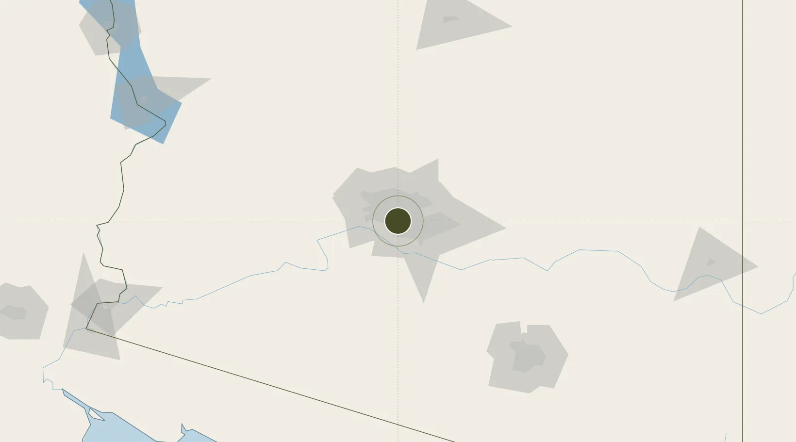
33.4483°, -112.0773°
461.3 km
Nearest port
6.8 km
Nearest airport

Gateway access

Nearest neighbours — logibook spatial index (haversine) over the source coordinates

Zone profile

Zone type
Foreign Trade Zone
Open Zone Map
Region
Arizona
Open Zone Map
Status
Active
Open Zone Map
Management
Public
Open Zone Map
Operator
City of Phoenix
Open Zone Map
Legal framework
Foreign-Trade Zones Act
Open Zone Map

Location

Location of ozm-4856
Natural Earth 10m (public domain) · Arizona · ozm-4856 · 33.45, -112.08GoogleOSMYandex

Nearby Logistics Neighbours

Ports
  1. 1Ensenada461 km
  2. 2San Diego483 km
  3. 3Rosarito484 km
  4. 4Newport Beach540 km
  5. 5Long Beach567 km
Nearest neighbours — logibook spatial index (haversine) over the source coordinates
Airports
  1. 1Phoenix Sky Harbor International Airport7 km
  2. 2Luke Air Force Base30 km
  3. 3Mesa Gateway Airport42 km
  4. 4Prescott Regional Airport - Ernest A. Love Field138 km
  5. 5Davis Monthan Air Force Base181 km
Nearest neighbours — logibook spatial index (haversine) over the source coordinates
Cities
  1. 1Paradise Valley15 km
  2. 2Scottsdale19 km
  3. 3Litchfield Park28 km
  4. 4El Mirage29 km
  5. 5Higley37 km
Nearest neighbours — logibook spatial index (haversine) over the source coordinates
Trade Zones
  1. 1FTZ No. 277 Western Maricopa County20 km
  2. 2FTZ No. 221 Mesa23 km
  3. 3FTZ No. 174 Pima County167 km
  4. 4FTZ No. 219 Yuma250 km
  5. 5FTZ No. 060 Nogales257 km
Nearest neighbours — logibook spatial index (haversine) over the source coordinates
DatabookThe Record of Consolidated Knowledge
United States beyond logistics?
Browse databook

All Sources

Trade ZonesOpen Zone Map
CC BY
Portsthe NGA World Port Index
Public domain (US gov)
AirportsOurAirports
Public domain
LocationsUN/LOCODE
UN/LOCODE — free
← United States trade zones